Information as of 13 August 2026
This page is a relocation summary written by an advanced AI
It is not a personal opinion piece written by a human. An AI gathered official information published on the internet — municipal and national statistics, the Japan Meteorological Agency, railway companies, property portals — and rebuilt it into a form that someone considering a move can read and act on. Every figure carries a source link and the date it was checked, so please confirm anything that matters to you against the original document. Rules and prices change. Always check the latest information yourself before you sign anything.
Moving to Fukuchiyama City
Fukuchiyama is a castle town on the north-western edge of Kyoto Prefecture, in the basin where the Yuragawa, the Hazegawa and the Makigawa meet. Three lines gather at Fukuchiyama Station — the JR Sanin Main Line, the JR Fukuchiyama Line and the Kyoto Tango Railway Miyafuku Line — and the tracks run out in four directions. Kyoto is 1 hr 16 min away by limited express, and Osaka 1 hr 35 min on a single limited express. Both of Kansai's two great cities are reachable without changing trains: this is the transport hub of northern Kinki. There are 65 second-hand detached houses on the market now, the cheapest at ¥600,000, and 31 of them are ¥10,000,000 or less. For earthquakes, the city is not designated under the Nankai Trough disaster management promotion area. The probability of shaking of Shindo 6-lower or above within 30 years is 5.6% (at the city hall). Here we go through the city's seven districts in turn — the houses on the market now, the water of the Yuragawa and the flood works, summer and winter in the basin, and the hospitals and schools.
Roadside stations: Nosho-no-Sato Yakuno / National and quasi-national parks: Tango-Amanohashidate-Oeyama Quasi-National Park / Hot springs and day baths: Niko Niko Plaza, Fukuchiyama Onsen, Yakuno Kogen Onsen "Hokkori-kan" / RV parks: RV Park Kyoto Oro Garden Terrace, RV Park Rai Yakuno, RV Park Fukuchiyama
Sources: roadside stations from the Ministry of Land, Infrastructure, Transport and Tourism list of "michi-no-eki" (checked 21 August 2026) / national and quasi-national parks identified from Ministry of the Environment boundary data and other sources (details in §17 of the main text) (checked 21 August 2026) / hot springs and day baths from OpenStreetMap (© OpenStreetMap contributors) (checked 20 August 2026) / RV parks from the Japan RV Association "Kuruma Tabi" list of certified RV parks (checked 20 August 2026). 🔴 Only the items a town has are shown — this does not mean that a town without them is inferior.
Last verified 2026-08-13
CHAPTER 01First, what kind of place Fukuchiyama is
About 88 km north-west of Kyoto Station and about 114 km north of Osaka Station. The city covers 552.54 km², making it the third-largest municipality in Kyoto Prefecture after Kyoto City and Nantan City. Its centre is the Fukuchiyama Basin, where the Hazegawa and the Makigawa join the Yuragawa. Fukuchiyama Castle stands in that basin, and the castle town below it is the town centre of today. From here the Yuragawa turns north, passes through Oe-cho and reaches the Sea of Japan west of Maizuru. People live on the floor of this basin and on the river terraces and hilltops that run east and west.
Map of Fukuchiyama City
You can zoom and pan. The marker is Fukuchiyama City Hall. Upstream along the Yuragawa to the east (right) are Ayabe and Kyoto; to the west (left) is Hyogo Prefecture; downstream to the north (up) are Oe-cho and Maizuru; and to the south (down) the Fukuchiyama Line runs towards Osaka.
Map: © OpenStreetMap contributors
What should I know first about moving to Fukuchiyama?
About 88 km north-west of Kyoto Station and about 114 km north of Osaka Station. At 552.54 km² this is the third-largest municipality in Kyoto Prefecture, and its centre is the Fukuchiyama Basin, where the Hazegawa and the Makigawa join the Yuragawa. People live on the floor of the basin and on the river terraces and hilltops that run east and west.
CHAPTER 02Seven areas, and life in each
Fukuchiyama is the third-largest city in Kyoto Prefecture at 552.54 km². From the basin at its centre, settlements are spread out along the Sanin Line, the Miyafuku Line and the Kitakinki Tango Railway. The median of the 65 listings on the market runs from ¥2,200,000 to ¥22,700,000 by district — a tenfold spread.
There are seven districts
| District | Rough elevation | Nearest station | What it is like / price range of the listings |
|---|---|---|---|
| Around Fukuchiyama Station the town centre | 20〜40m | Fukuchiyama | City hall, Fukuchiyama Castle and the shopping streets. Everything sits within walking distance of the station where four lines meet, so the shops and the city office are both on foot. ¥2,500,000 to ¥128,000,000 (15 listings) |
| Osada and Kikyogaoka the south-eastern heights | 20〜70m | Fukuchiyama ( by car, bus ) | A housing area laid out on the terrace above the basin. Right next to it is the Osadano Industrial Park (the city's main source of jobs), so work is close by. This district has the most listings in the city, 18. ¥9,000,000 to ¥45,000,000 |
| Nishi-no-sato Kamikawaguchi and Yakuno | 20〜90m | Kamikawaguchi, Shimo-Yakuno | West along the Sanin Main Line. The Yakuno Plateau is the only volcanic landform in Kinki, and the district borders Hyogo Prefecture. Plots here are generous and prices are gentle. ¥3,900,000 to ¥23,800,000 (11 listings) |
| Isa, Kisaichi and Kawagita east, along the Sanin Line | 20〜30m | Isa | The flat land along the Yuragawa towards Ayabe. The city's cheapest house, at ¥600,000, is in this district too. ¥600,000 to ¥48,500,000 (8 listings) |
| Oe-cho north, along the Miyafuku Line | 10〜500m | Oe, Oeyamaguchi-Naiku | The lower reaches of the Yuragawa. This is the town of the three Moto-Ise shrines and of Mount Oe (the mountain of the ogre legend), with five Kyoto Tango Railway Miyafuku Line stations in a row. At ¥1,980,000 to ¥11,880,000 (5 listings) it is the easiest district in the city to afford |
| Miwa-cho in the hills to the south-east | 70〜150m | Car or city bus | A valley village on the way through to Hyogo Prefecture and to Kyoto and Nantan. ¥1,800,000 to ¥39,800,000 (5 listings). The town centre is a 20 to 30 minute drive away |
| Araga and Kashinokidai the north-western housing area | 20〜50m | Aragakashinokidai | A newer housing area with its own Miyafuku Line station. It adjoins the town centre and is within walking distance of the station. ¥13,800,000 to ¥35,800,000 (3 listings) |
How the districts and the stations sit
The town centre gathers on the floor of the basin, and from there the Sanin Main Line runs east and west, the Miyafuku Line north, and the Fukuchiyama Line south. Miwa-cho and Osada/Kikyogaoka have no station of their own, so getting to Fukuchiyama Station means a car or a bus. Positions, directions and scale follow the real coordinates (stations from OpenStreetMap, districts from the Geospatial Information Authority of Japan). You can scroll sideways.
How life differs by district
The prices and elevations are the medians of the listings on the market now (65 on SUUMO).
Suits — anyone who wants a newer housing area, away from the river
Worth knowing — this is the most expensive part of the city. The same budget buys four times the space in Nishi-no-sato
Suits — anyone who wants to live without a car
Worth knowing — this is the area where the national government, Kyoto Prefecture and the city completed ¥5,500,000,000 of works against the Yuragawa (§5). Choose it knowing that history
Suits — anyone who wants room on the land
Worth knowing — most of the city's akiya bank houses are in this direction, and this is also where the "iju special zone" designations are (§14)
Suits — anyone who wants to buy cheaply and still use a station
Worth knowing — the elevation is 25 m, and this is the Yuragawa's flood plain
Suits — anyone who wants the quiet of the hills
Worth knowing — there are 2,384 landslide warning zones in the city (§5). A car is assumed
Suits — anyone for whom budget comes first
Worth knowing — Oe is on the lower reaches of the Yuragawa. Check the hazard maps before you decide
Suits — anyone who wants a newer housing area with a station
Worth knowing — there are only 3 listings here
Which part of Fukuchiyama should I live in?
The median of the 65 listings on the market runs from ¥2,200,000 to ¥22,700,000 by district, a tenfold spread. The district with the most listings is Osada and Kikyogaoka on the south-eastern heights, with 18, and the Osadano Industrial Park — the city's main source of jobs — is right beside it.
CHAPTER 03Trains and cars — how you get around
Fukuchiyama's strength is that there is a limited express to Kyoto and to Osaka, with no change either way. Kyoto is 1 hr 16 min and ¥3,250; Osaka is 1 hr 35 min and ¥4,370. From Fukuchiyama Station the tracks run out in four directions — this is the rail junction of northern Kyoto Prefecture.
You can reach both Kyoto and Osaka without changing trains
Fukuchiyama Station is where the Sanin Main Line from Kyoto meets the Fukuchiyama Line from Osaka. A single limited express takes you to either city.
| Section | Time | One way |
|---|---|---|
| Fukuchiyama → Kyoto JR Sanin Main Line, no change | 1 hr 16 min by ltd. express 1 hr 58 min on local trains | ¥3,250 (88.5 km / ¥1,520 ticket + ¥1,730 reserved limited-express supplement) On local trains alone it is ¥1,520. There are 42 departures a day towards Kyoto (11 of them limited expresses), first at 4:45 and last at 22:50 |
| Fukuchiyama → Osaka JR Fukuchiyama Line, no change | 1 hr 35 min by ltd. express 2 hr 24 min on local trains | ¥4,370 (114.2 km / ¥1,980 ticket + ¥2,390 reserved limited-express supplement) On local trains and the Tambaji Rapid alone it is ¥1,980. There are 31 departures a day towards Osaka (11 limited expresses and 6 Tambaji Rapids), first at 5:01 and last at 21:58 |
| Tokyo → Fukuchiyama one change, at Kyoto | 3 hr 39 min at best | ¥17,330 (602.1 km / ¥9,790 ticket + ¥5,810 reserved Nozomi supplement + ¥1,730 reserved limited-express supplement) |
| Fukuchiyama → Ayabe | 13 min on a local train | ¥240 (12.3 km), no change |
| Fukuchiyama → Higashi-Maizuru | 46 min on a local train | ¥770 (38.7 km), no change (through service on the Maizuru Line) |
| Fukuchiyama → Amanohashidate | 1 hr 19 min | ¥800. The Kyoto Tango Railway Miyafuku Line runs through Oe-cho; change at Miyazu for the Miyatoyo Line |
Going to Kyoto — Kyoto 8:38 [Hashidate No. 1 limited express, 76 min] → Fukuchiyama 9:54. Coming back, the Kinosaki and Hashidate limited expresses run 11 times a day in the up direction alone. On local trains it is Fukuchiyama 8:53 → [Sanin Line local, 81 min] → Sonobe 10:14 → [change, 2 min] → Sonobe 10:16 [rapid, 35 min] → Kyoto 10:51, 1 hr 58 min and ¥1,520.
Going to Osaka — Osaka 8:14 [Kounotori No. 1 limited express, 95 min, no change] → Fukuchiyama 9:49. 1 hr 35 min in all, ¥4,370. On local trains it is Fukuchiyama 8:00 [Fukuchiyama Line local, 62 min] → Sasayamaguchi 9:02 → [change, 11 min] → 9:13 [Tambaji Rapid, 71 min] → Osaka 10:24, 2 hr 24 min and ¥1,980.
Coming home from Tokyo — Tokyo 6:15 [Nozomi No. 3, 2 hr 9 min] → Kyoto 8:24 → [change, 14 min] → Kyoto 8:38 [Hashidate No. 1 limited express, 76 min] → Fukuchiyama 9:54. 3 hr 39 min in all, ¥17,330. Sources: times and fares from JR West "My Daiya" timetable and fare search / train counts from JR West, Fukuchiyama Station timetable (towards Ayabe, Nishi-Maizuru and Kyoto) and the same for Sasayamaguchi, Sanda and Osaka (revision of 14 March 2026; every service running on Wednesday 19 August 2026 tallied by this site) / checked 2026-08-13
From Fukuchiyama Station the tracks run out in four directions
There are 14 stations in the city: five on the Sanin Main Line — Fukuchiyama, Isa, Kamikawaguchi, Shimo-Yakuno and Kami-Yakuno — and nine on the Miyafuku Line — Fukuchiyama-Shimin-Byoin-guchi, Aragakashinokidai, Maki, Shimoamazu, Gujo, Oe, Oe-Kokomae, Futamata and Oeyamaguchi-Naiku. The Miyafuku Line belongs to the Kyoto Tango Railway (a third-sector operator) and runs from Fukuchiyama towards Amanohashidate. Positions, directions and scale follow the real coordinates (station coordinates from OpenStreetMap). You can scroll sideways.
By car — the Maizuru-Wakasa and Kyoto Jukan expressways cross here
Fukuchiyama IC puts you on the Maizuru-Wakasa Expressway, which also connects to the Kyoto Jukan Expressway. Osaka, Kyoto and the Sea of Japan coast are all reachable by expressway from here. Miwa-cho, Yakuno and Oe-cho have many settlements away from the stations, so a car is assumed there.
✈ Airports
The nearest is Osaka International Airport (a hub airport under company management), about 65.7 km in a straight line. Next is Kobe Airport (about 76.1 km in a straight line). 🔴 These are straight-line distances. They are not road distances or journey times — check each operator's timetable for how you would actually travel.
🛣 Expressway junctions
This area has 1 entry and exit point (interchanges and junctions).
Kinki Expressway Tsuruga Route = Fukuchiyama
How long does it take from Fukuchiyama to Kyoto and Osaka?
Kyoto is 1 hr 16 min and ¥3,250 by limited express, and Osaka 1 hr 35 min and ¥4,370, both without changing trains. From Fukuchiyama Station the tracks run out in four directions: this is the rail junction of northern Kyoto Prefecture.
CHAPTER 04Homes actually on the market right now
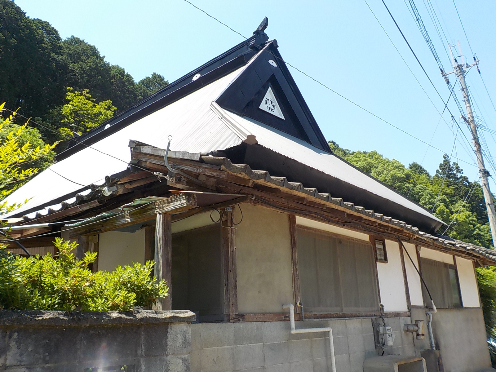
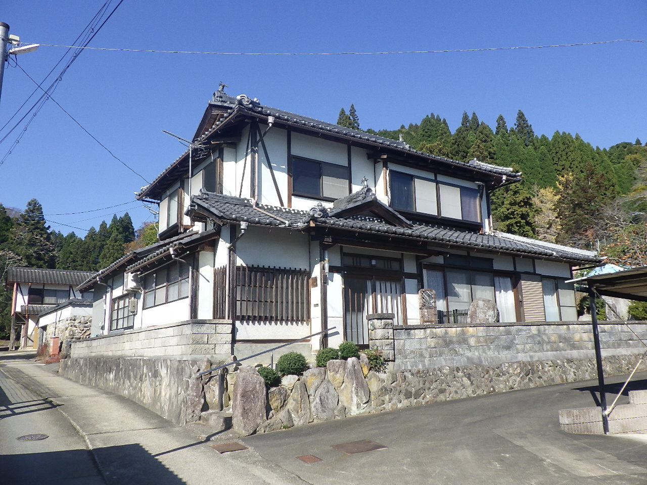
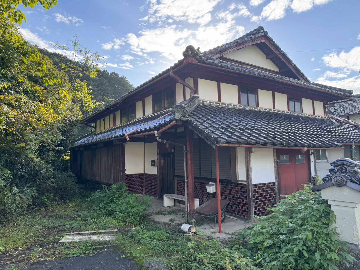
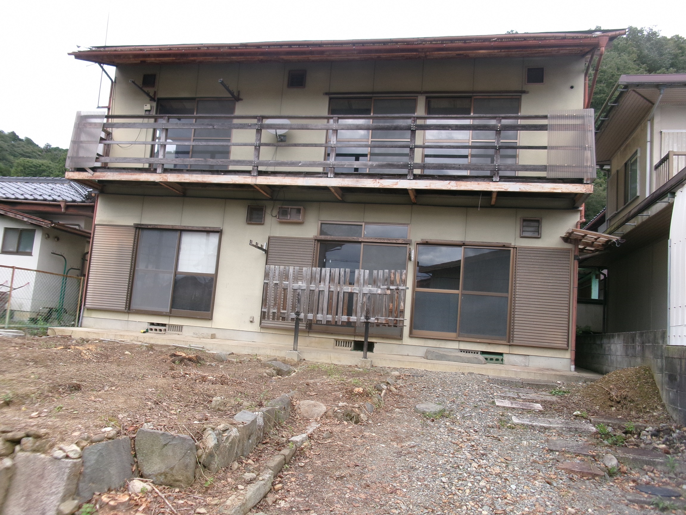
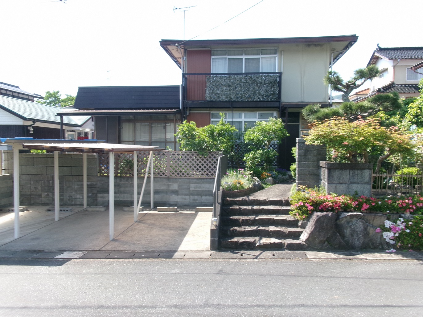
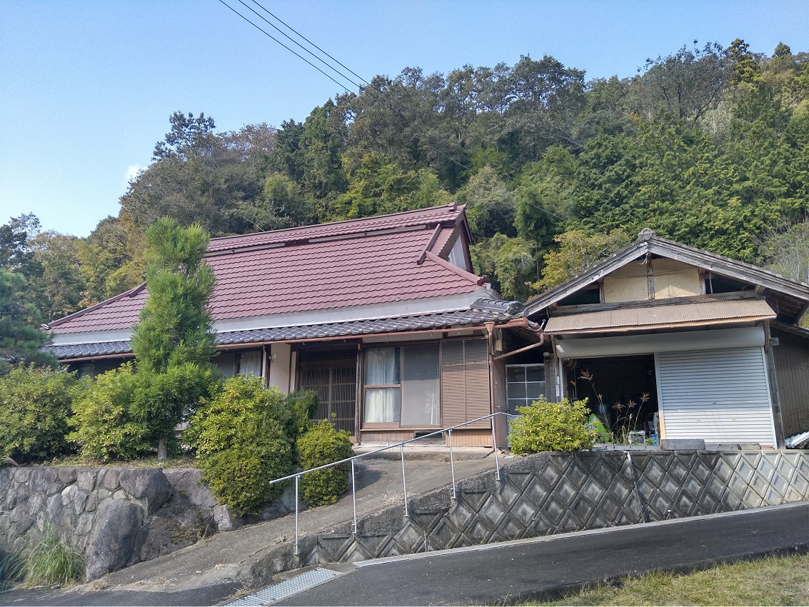
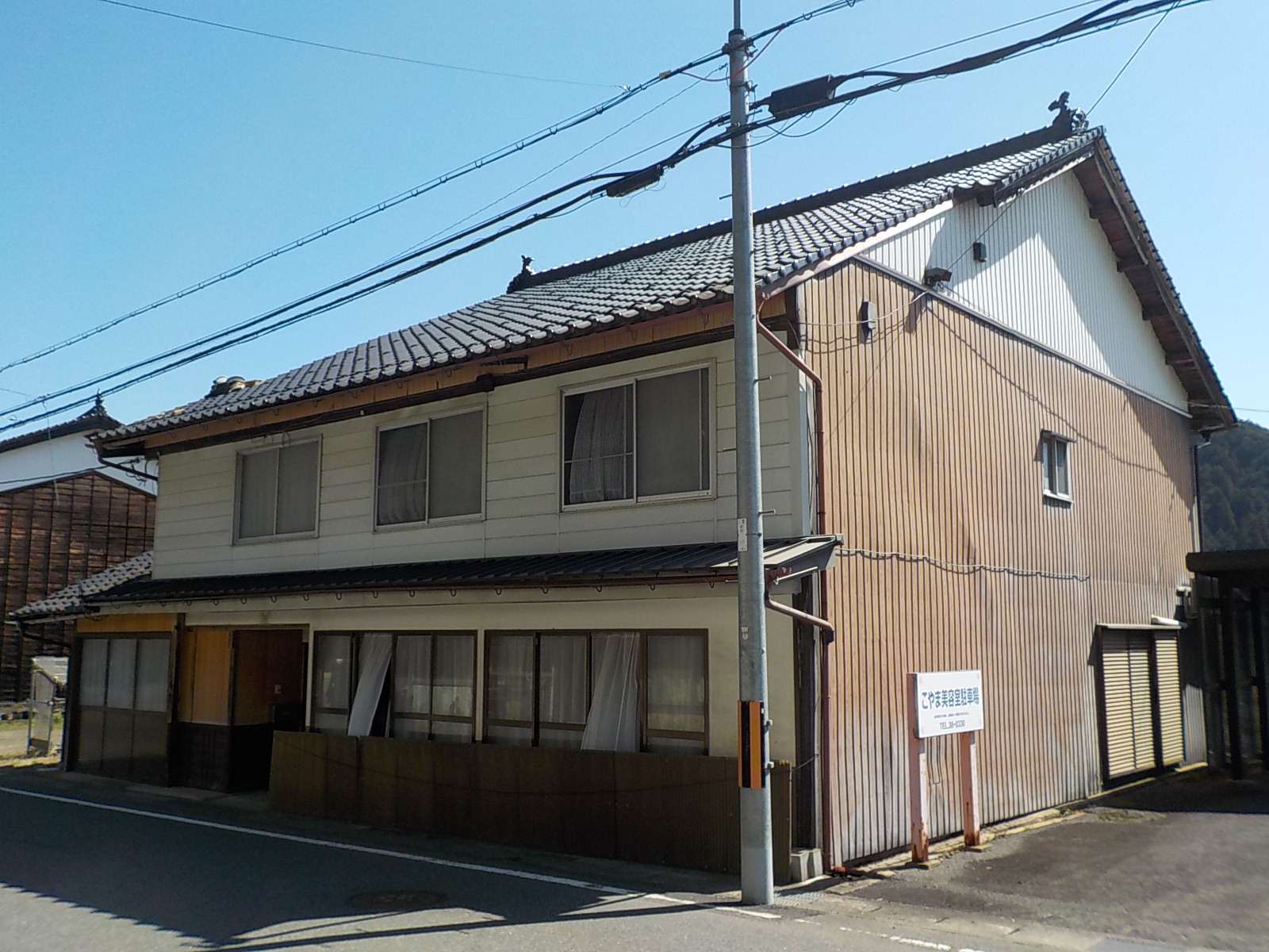
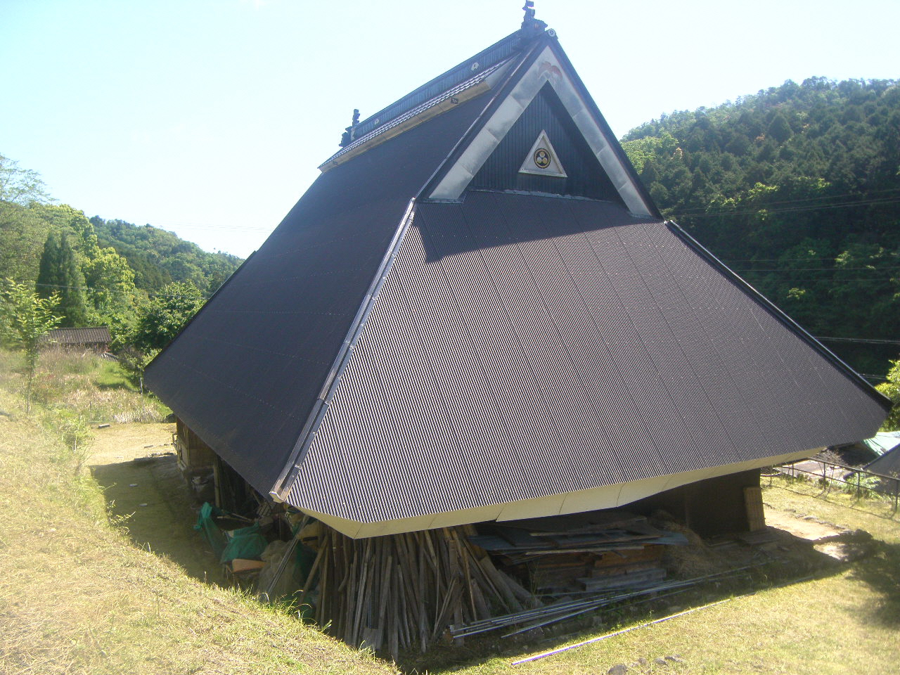
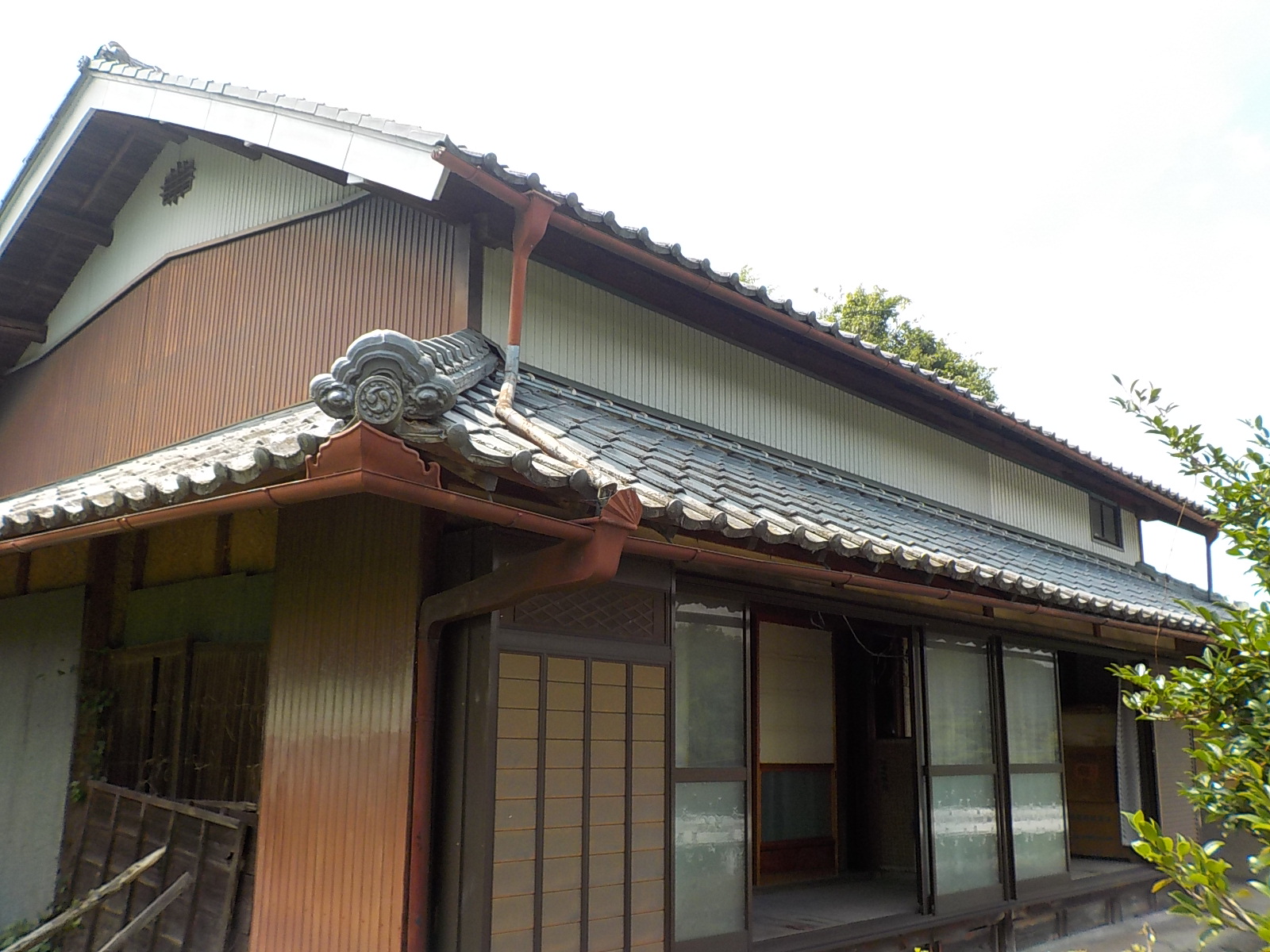
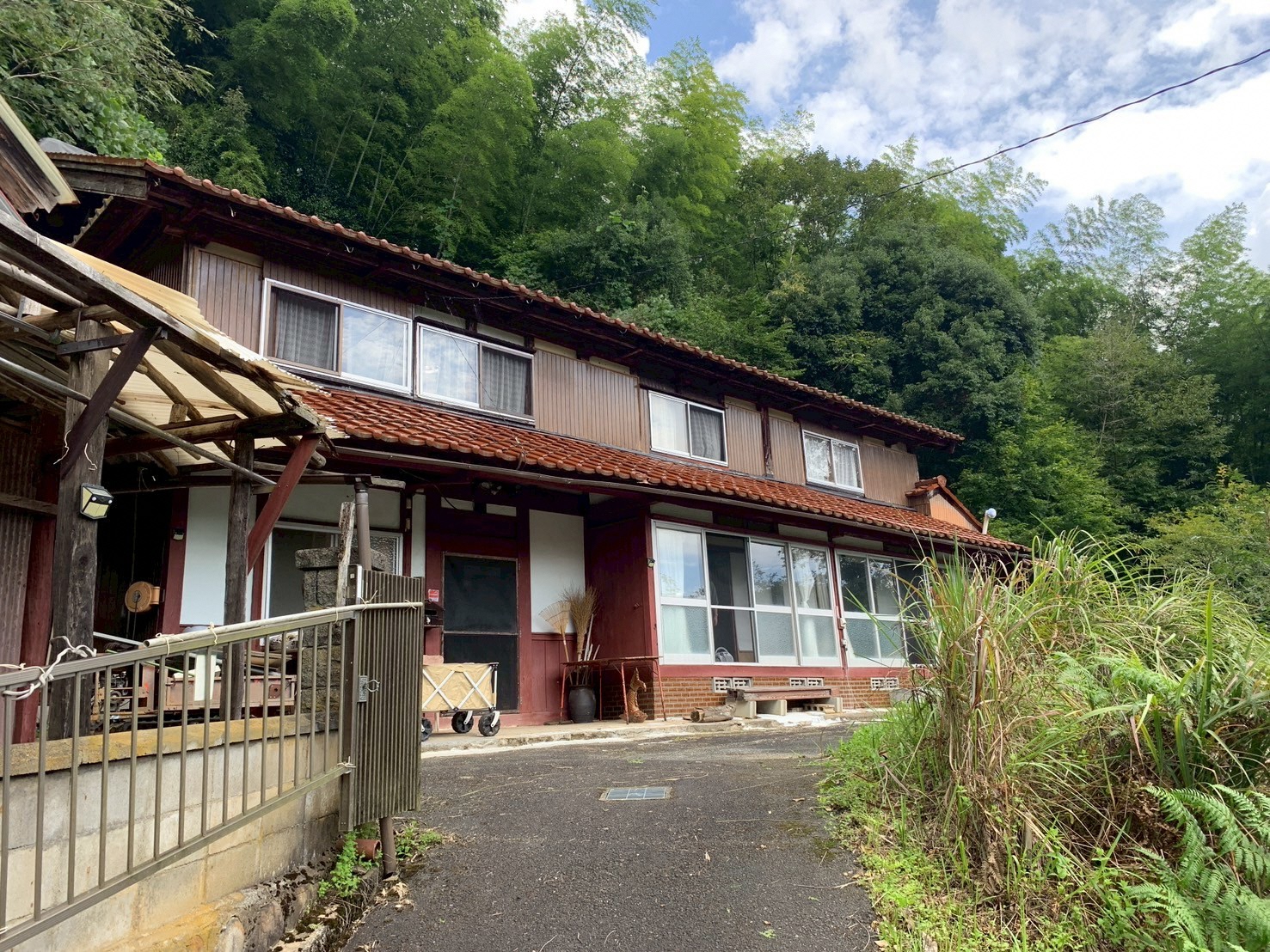
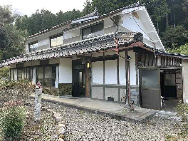
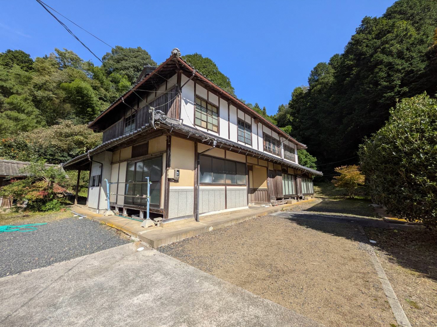
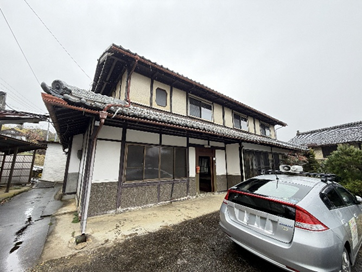
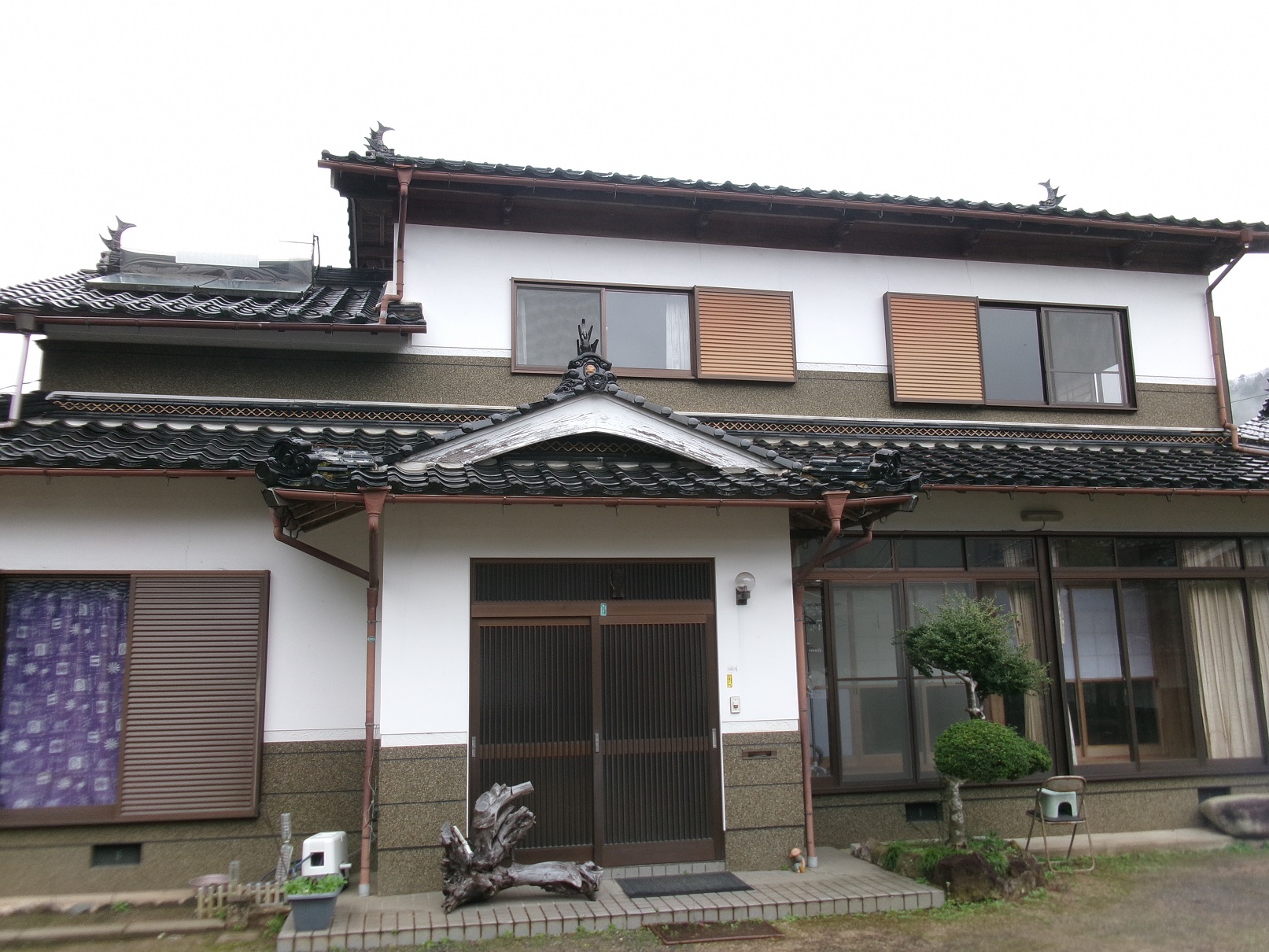
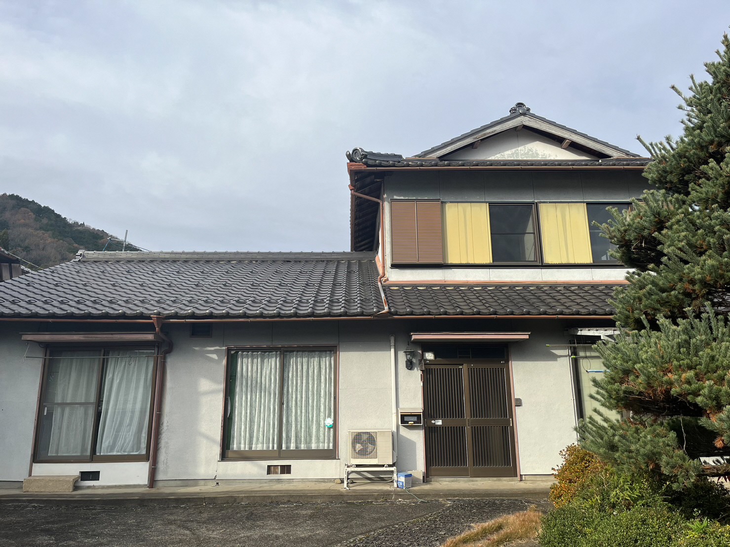
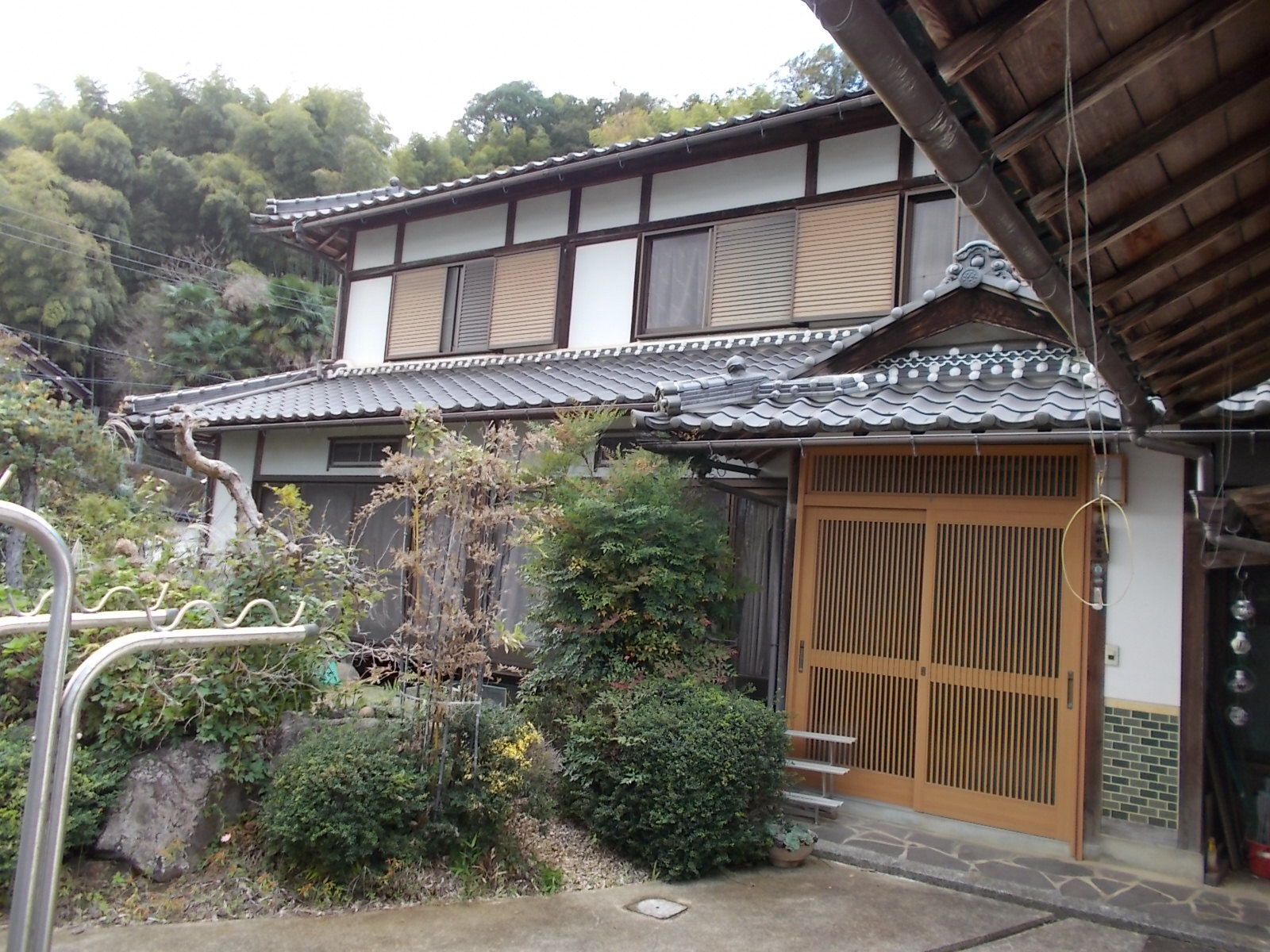
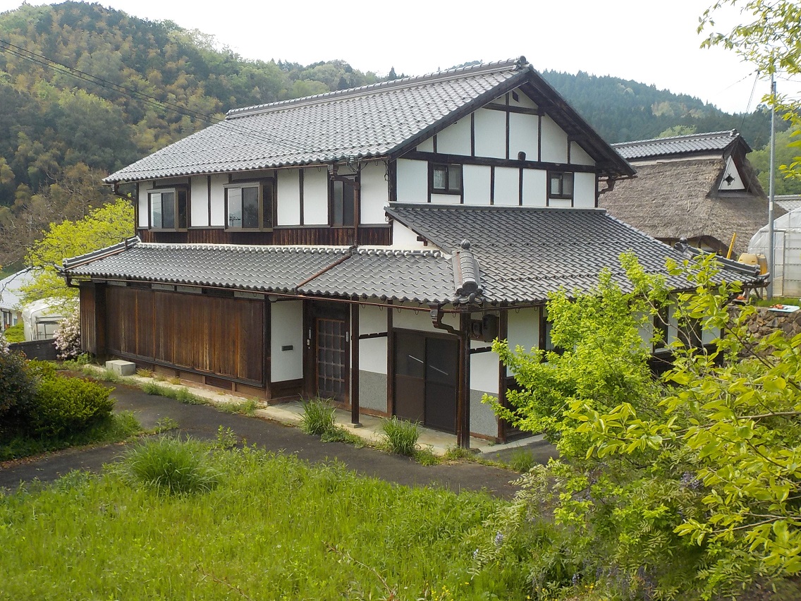
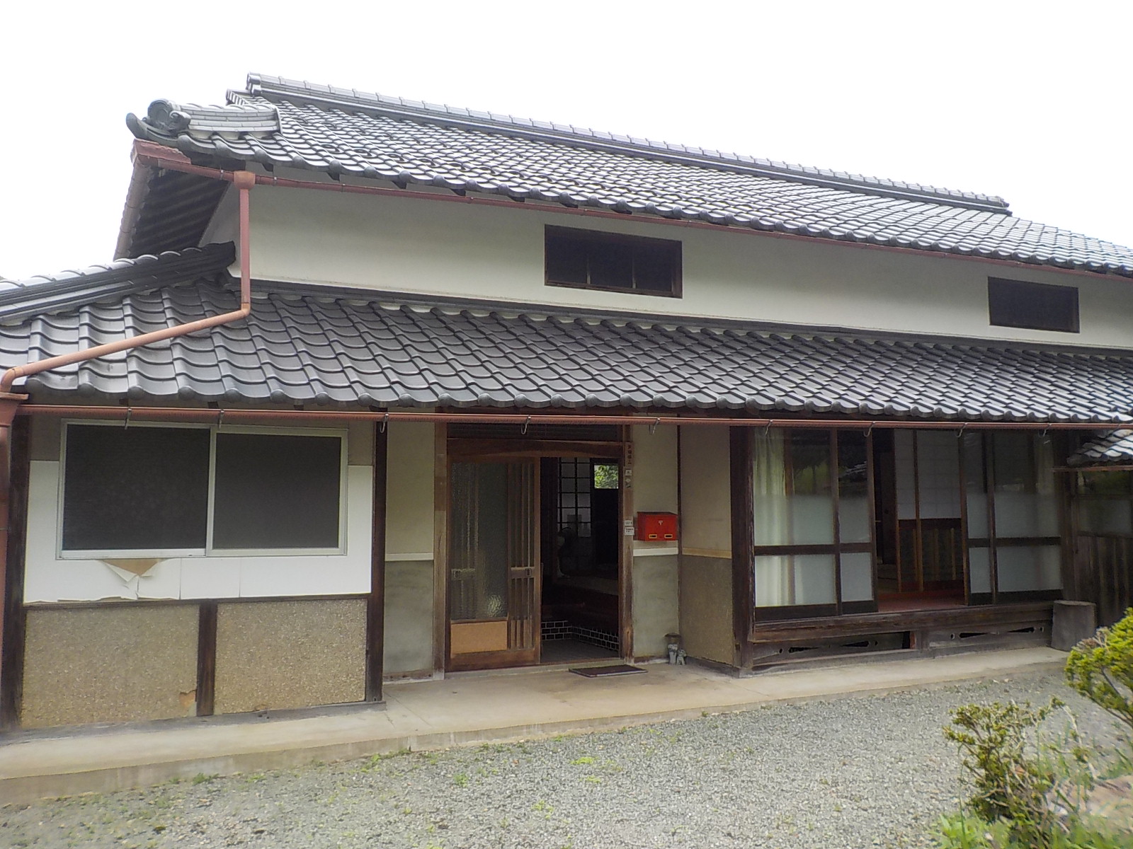
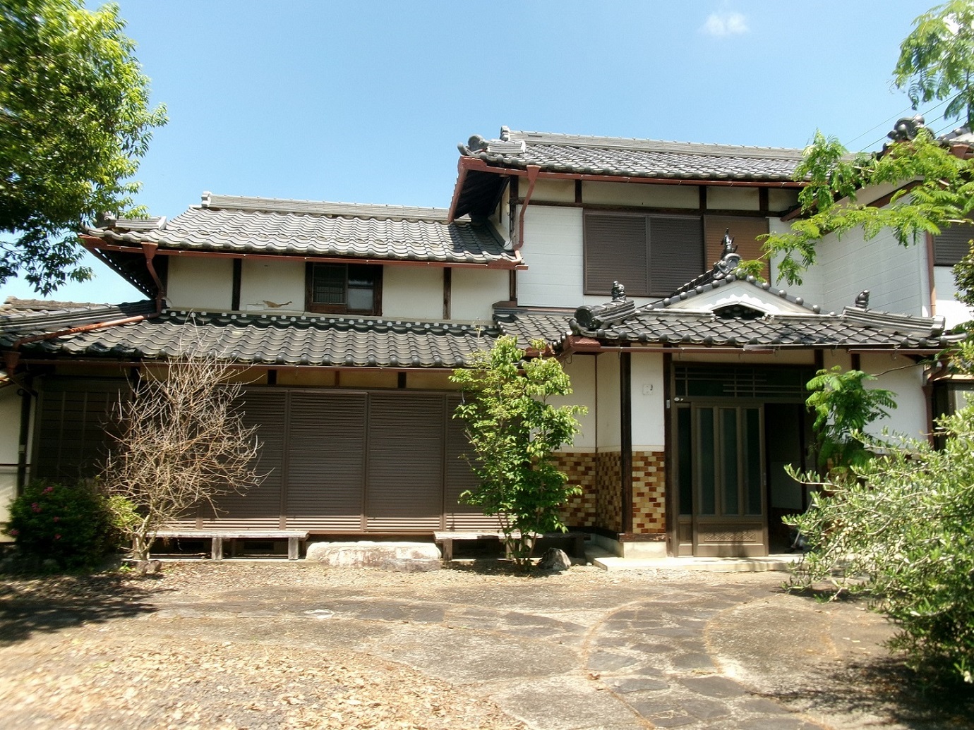
SUUMO has 65 listings for second-hand detached houses in Fukuchiyama City. All 65 listed have been retrieved, and the 20 cheapest are shown. Tapping anywhere on a row opens the SUUMO listing page.
"Nearest the station first" converts everything to minutes — a walk of ◯ min, ◯ min by bus plus ◯ min from the stop, ◯ km by car (reckoned at 30 km/h) — and compares those. Listings with no such information always appear last, whatever the sort.
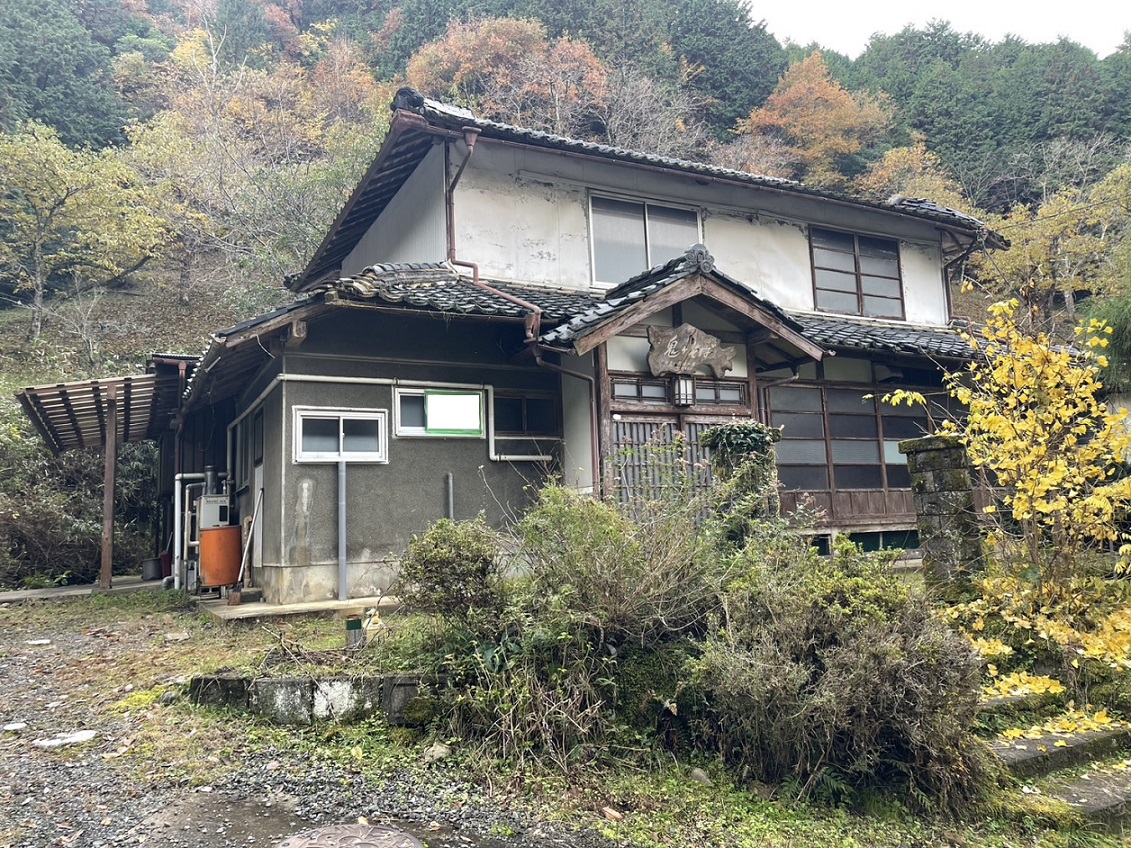
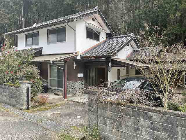
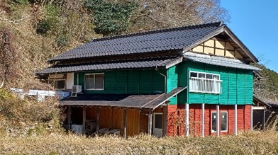
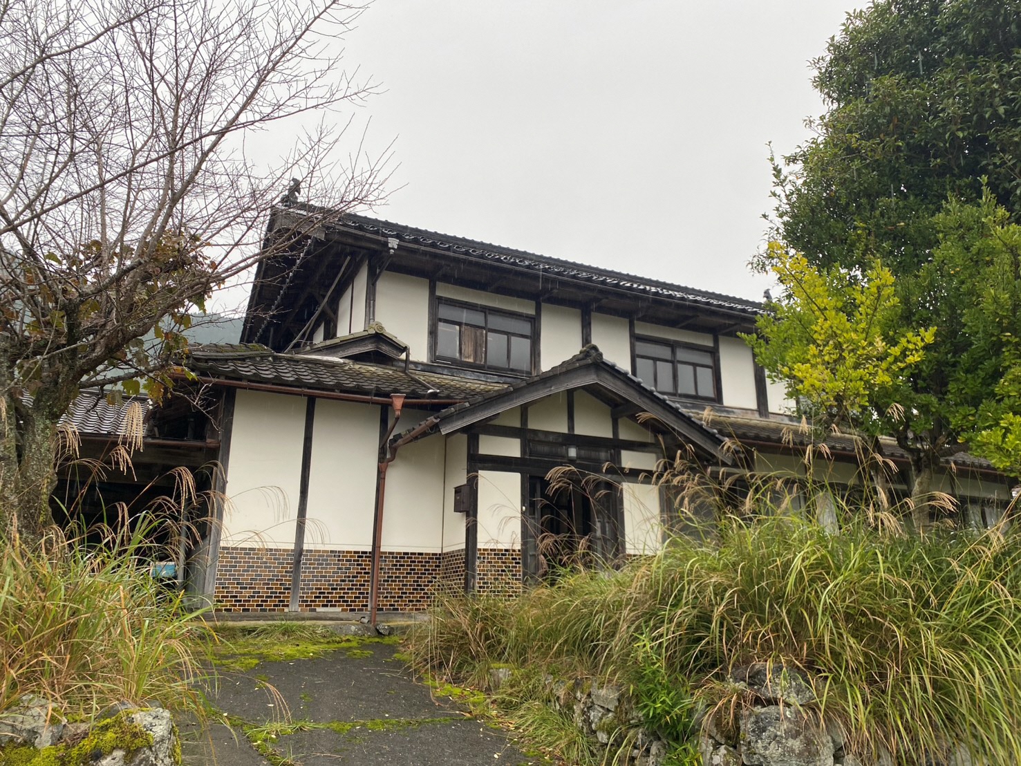
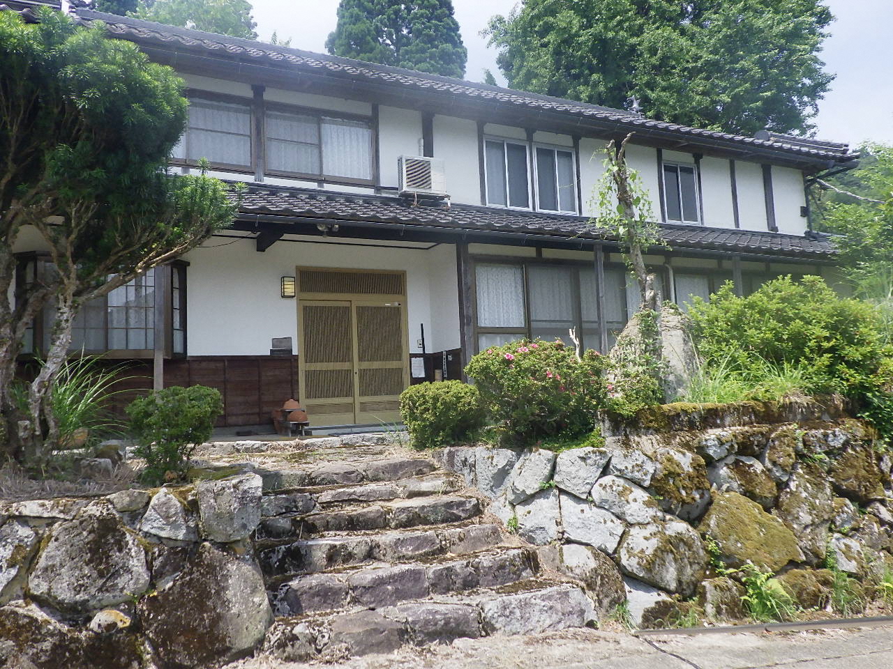
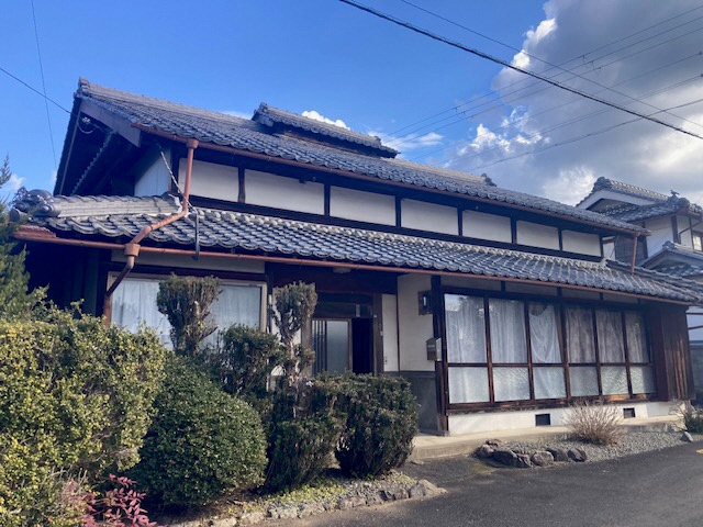
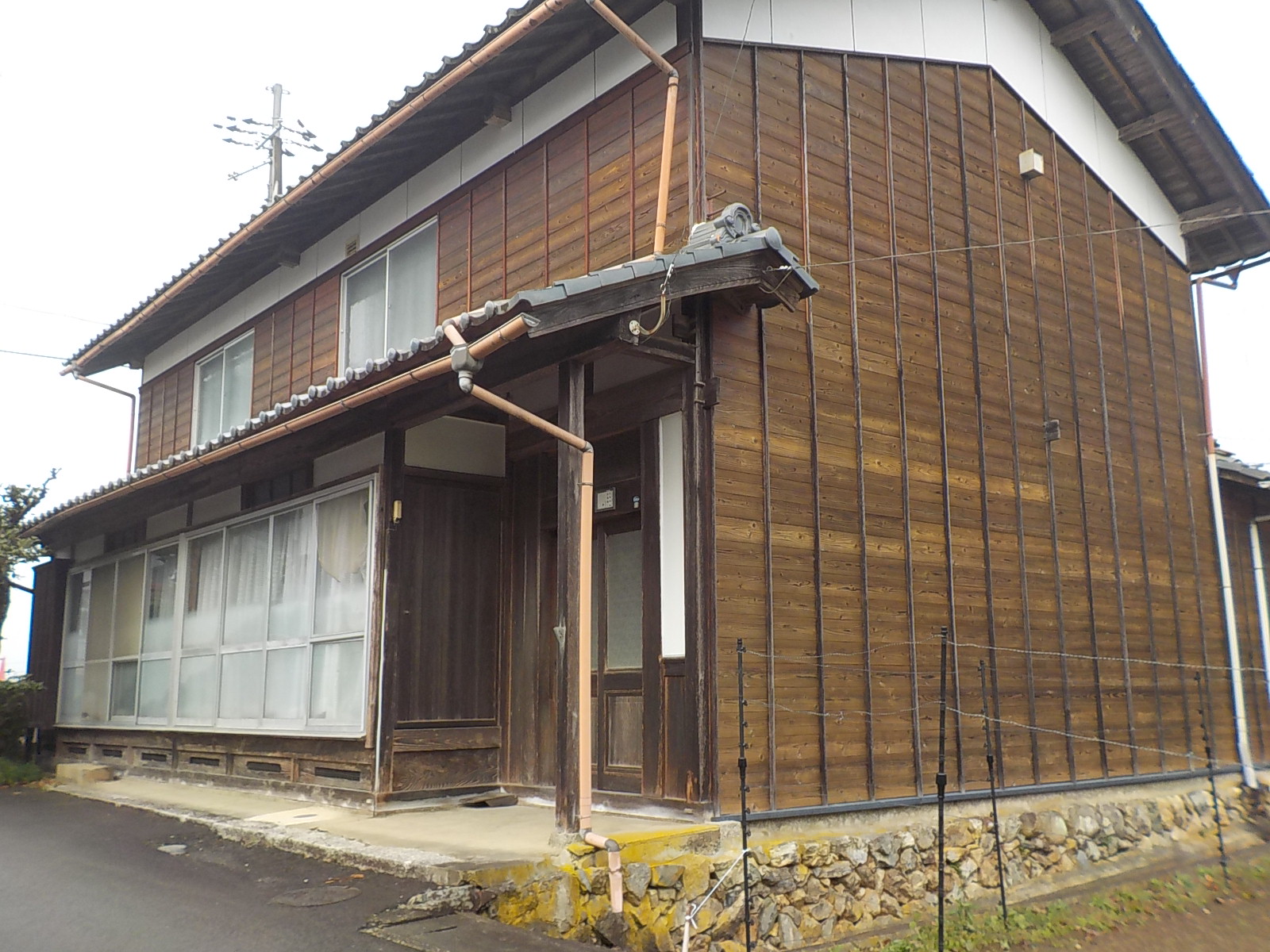
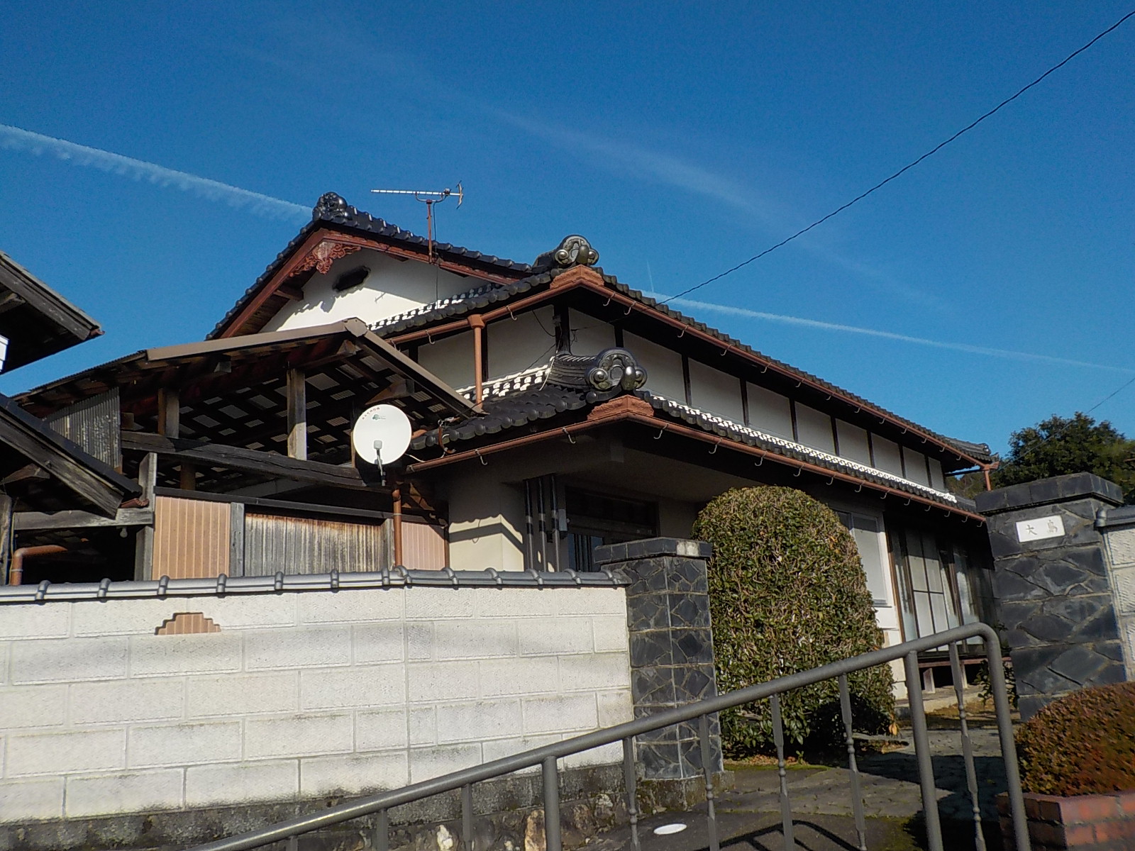
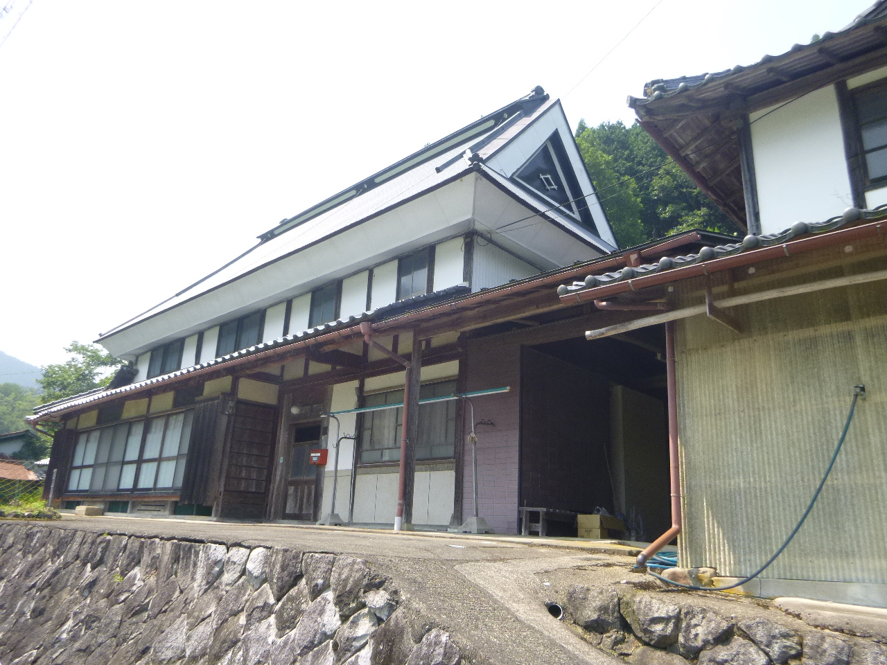
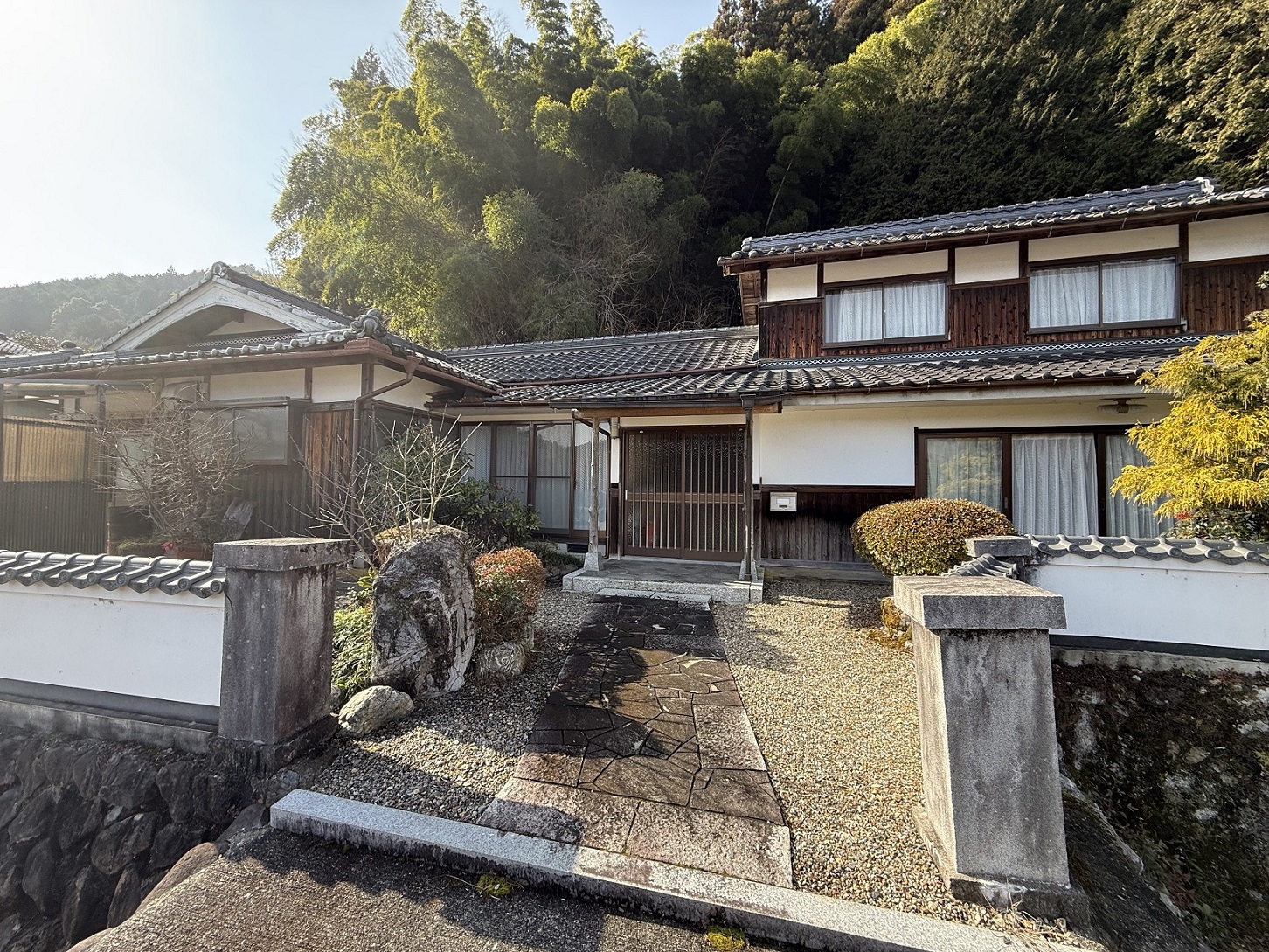
 Kawagita¥600,000Isa, Kisaichi and Kawagita (east, along the San-in Line)Elev. approx. 20 m / Land 468 m² (142 tsubo) / Building 214 m² (65 tsubo) / built 1965 / Isa Sta. 37 min walk8 photos →
 Miwa-cho Shimokawai¥1,800,000Miwa-cho (in the hills to the south-east)Elev. approx. 100 m / Land 370 m² (112 tsubo) / Building 122 m² (37 tsubo) / built 1971 / Shimokawai bus stop 2 min walk6 photos →
 Oe-cho Minamiariji¥1,980,000Oe-cho (north, along the Miyafuku Line)Elev. approx. 10 m / Land 463 m² (140 tsubo) / Building 79 m² (24 tsubo) / built 1965 / Oe Sta., 4.0km9 photos →
 Oe-cho Komori¥2,000,000Oe-cho (north, along the Miyafuku Line)Elev. approx. 20 m / Land 383 m² (116 tsubo) / Building 148 m² (45 tsubo) / built 1961 / Oe Sta. 6 min walk10 photos →
 Oe-cho Busshoji 60-2,61-1¥2,200,000Oe-cho (north, along the Miyafuku Line)Elev. approx. 500 m / Land 406 m² (123 tsubo) / Building 112 m² (34 tsubo) / built 1978 / Oeyamaguchi-Naiku Sta. 33 min walk10 photos →
 Oe-cho Ueno¥2,500,000Oe-cho (north, along the Miyafuku Line)Elev. approx. 30 m / Land 403 m² (122 tsubo) / Building 82 m² (25 tsubo) / built 1945 / Oe-Kokomae Sta. 17 min walk8 photos →
 Izaki¥2,500,000Around Fukuchiyama Station (the city centre)Elev. approx. 20 m / Land 151 m² (46 tsubo) / Building 170 m² (51 tsubo) / built 1954 / Fukuchiyama Sta. 31 min walk10 photos →
 Kaji¥2,500,000Around Fukuchiyama Station (the city centre)Elev. approx. 20 m / Land 35 m² (11 tsubo) / Building 54 m² (16 tsubo) / built 1975 / Fukuchiyama Sta. 13 min walk10 photos →
 Kawagita¥2,800,000Isa, Kisaichi and Kawagita (east, along the San-in Line)Elev. approx. 30 m / Land 104 m² (31 tsubo) / Building 76 m² (23 tsubo) / built 1981 / Isa Sta., 4.0km3 photos →
 Naiki¥3,800,000Around Fukuchiyama Station (the city centre)Elev. approx. 20 m / Land 58 m² (18 tsubo) / Building 122 m² (37 tsubo) / built 1975 / Fukuchiyama Sta. 13 min walk10 photos →
 Kisaichi Hieda¥3,800,000Isa, Kisaichi and Kawagita (east, along the San-in Line)Elev. approx. 30 m / Land 1710 m² (517 tsubo) / Building 152 m² (46 tsubo) / built 1942 / Takatsu Sta. 38 min walk8 photos →
 Daimon¥3,900,000Nishi-no-sato (Kamikawaguchi and Yakuno)Elev. approx. 90 m / Land 664 m² (201 tsubo) / Building 299 m² (90 tsubo) / built 1965 / Kamikawaguchi Sta. 55 min walk10 photos →
 Kamono-cho¥4,000,000Nishi-no-sato (Kamikawaguchi and Yakuno)Elev. approx. 70 m / Land 271 m² (82 tsubo) / Building 104 m² (31 tsubo) / built 1976 / Kamo-no-danchi bus stop 7 min walk10 photos →
 Hori¥4,500,000Around Fukuchiyama Station (the city centre)Elev. approx. 20 m / Land 128 m² (39 tsubo) / Building 93 m² (28 tsubo) / built 1972 / Fukuchiyama Sta. 17 min walk10 photos →
 Yakuno-cho Nukata¥4,800,000Nishi-no-sato (Kamikawaguchi and Yakuno)Elev. approx. 70 m / Land 299 m² (91 tsubo) / Building 106 m² (32 tsubo) / built 1992 / Shimo-Yakuno Sta. 10 min walk10 photos →
 Miwa-cho Ashibuchi¥4,800,000Miwa-cho (in the hills to the south-east)Elev. approx. 70 m / Land 203 m² (61 tsubo) / Building 100 m² (30 tsubo) / built 1984 / Fukuchiyama Sta. bus 27 min+3 min walk9 photos →
 Kannonji¥4,800,000Isa, Kisaichi and Kawagita (east, along the San-in Line)Elev. approx. 30 m / Land 522 m² (158 tsubo) / Building 262 m² (79 tsubo) / built 1968 / Isa Sta. bus 2 min+4 min walk10 photos →
 Shomyoji Mukaino¥4,800,000Nishi-no-sato (Kamikawaguchi and Yakuno)Elev. approx. 60 m / Land 120 m² (36 tsubo) / Building 81 m² (25 tsubo) / built 1981 / Fukuchiyama Sta. 27 min walkView listing →
 Miwa-cho Daito 306¥5,500,000Miwa-cho (in the hills to the south-east)Elev. approx. 150 m / Land 232 m² (70 tsubo) / Building 97 m² (29 tsubo) / built 1868 / Ayabe Sta., 8.2km7 photos →
 Izaki¥5,800,000Around Fukuchiyama Station (the city centre)Elev. approx. 20 m / Land 299 m² (90 tsubo) / Building 69 m² (21 tsubo) / built 1962 / Fukuchiyama Sta. 37 min walk9 photos →
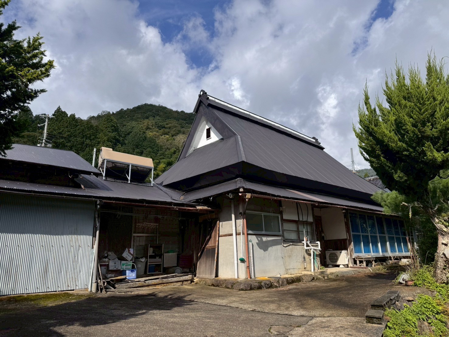
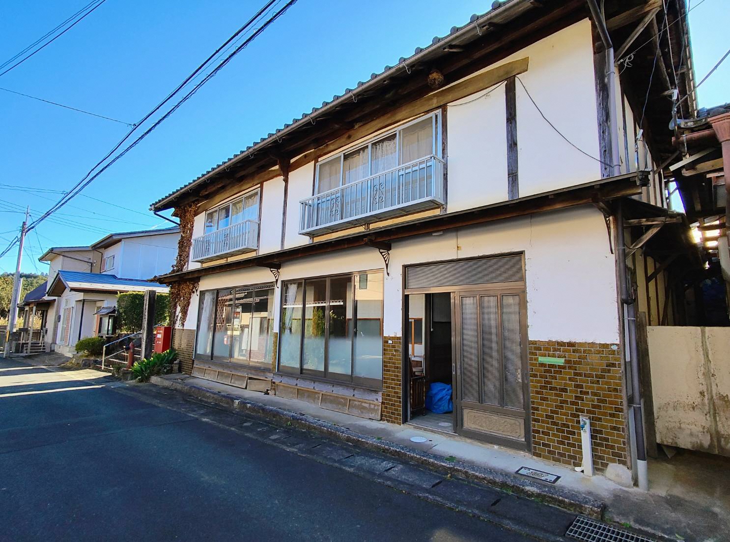
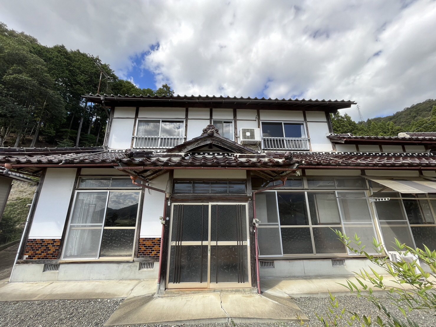
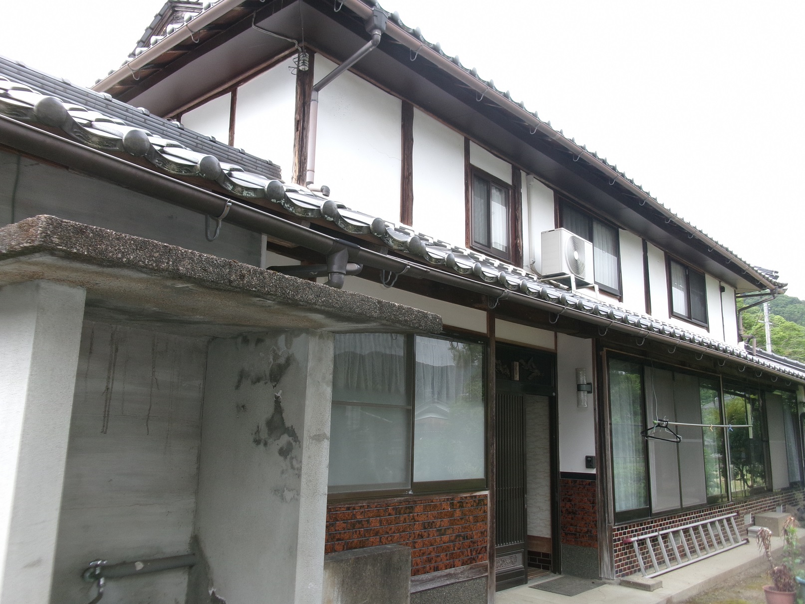
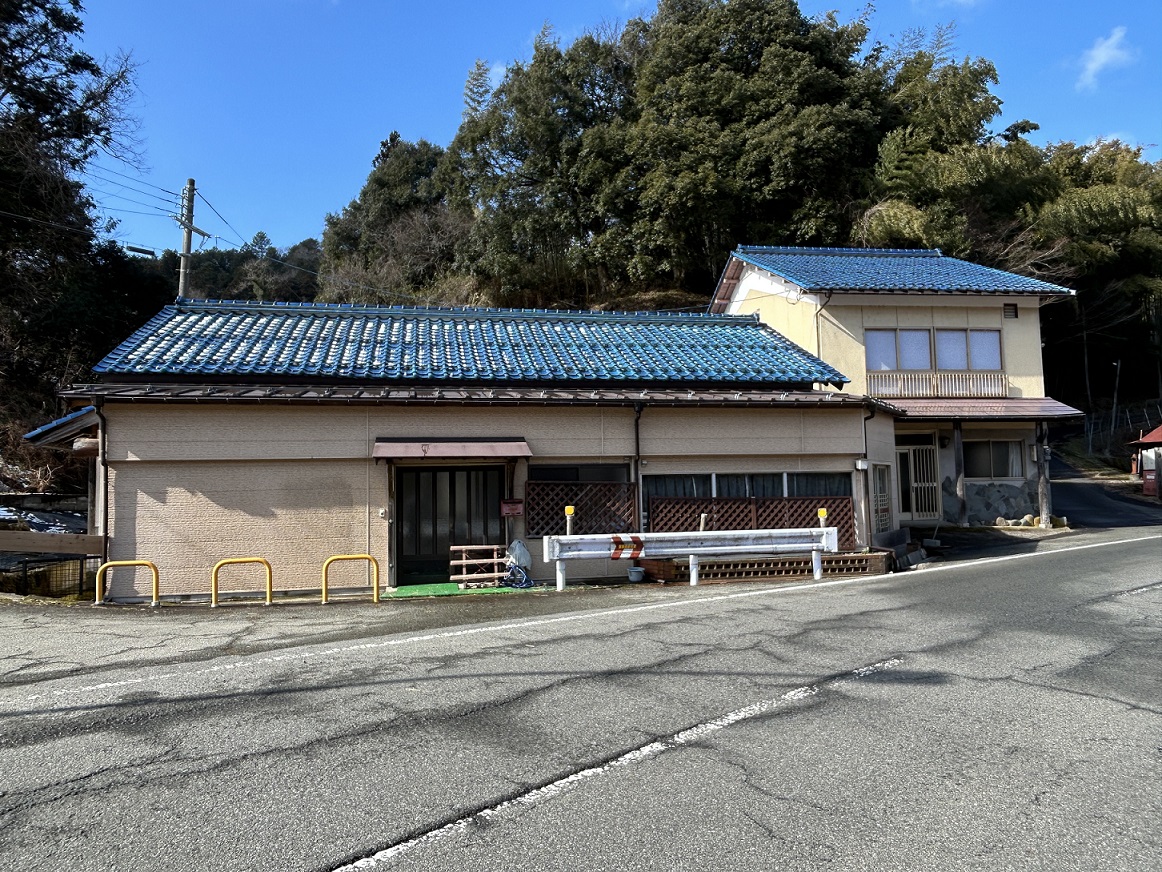
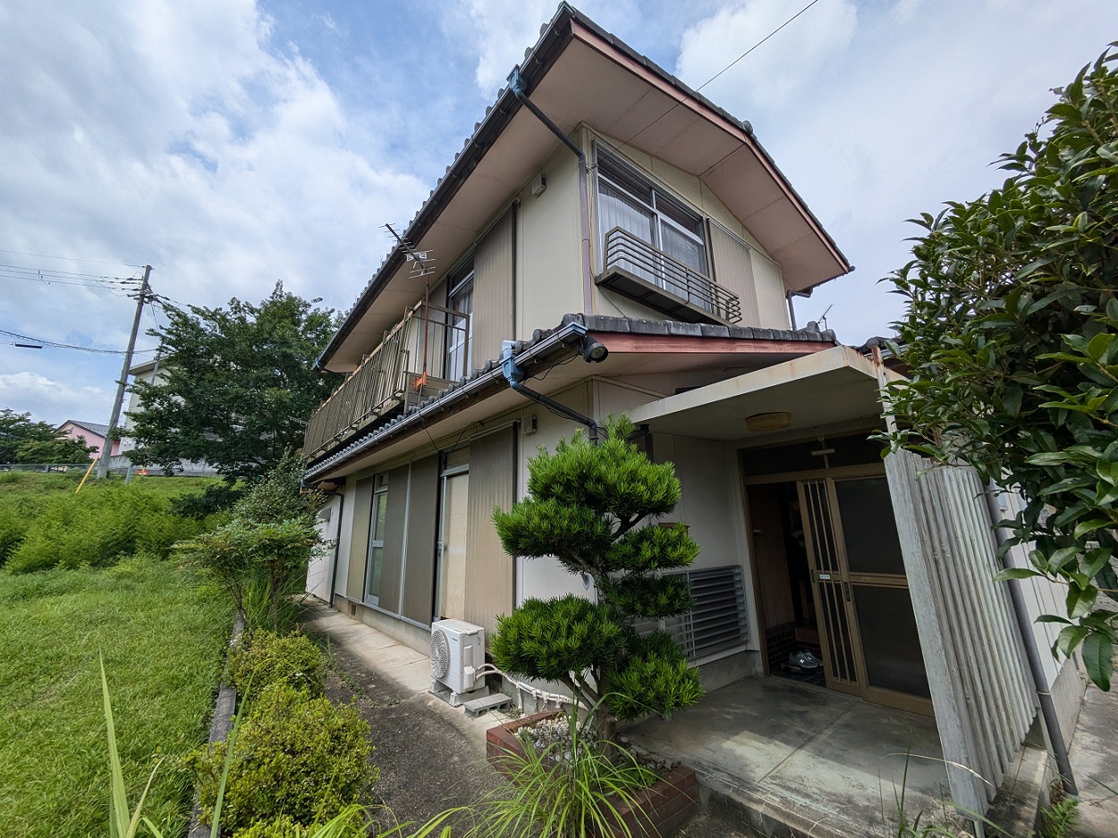
The photographs are the images carried on SUUMO. They disappear once a listing ends. Check the real condition of a property on site.
See all 65 on SUUMO →1. How high it stands above the Yuragawa and the Hazegawa. The town centre is on the floor of the basin, where land runs 15 to 25 m above sea level. A few tens of centimetres decide whether a plot floods, so once you have an address, look up its elevation on the Geospatial Information Authority map and its projected flood depth on the city hazard map (links in §5).
2. Public sewer, or a septic tank. Fukuchiyama City's sewerage coverage is 86.1%, with 9.3% on rural community sewerage and the remaining 3.3% on combined septic tanks (end of FY Reiwa 6). Houses in the hills may be on a septic tank, and that brings an annual cost for inspection and cleaning.
3. Whether the plot is in an area where the moving-in grants apply. The city's akiya renovation grants cover the rural and mountain areas and the special promotion zones for moving in. Buy near the station or in Osadano and these particular grants do not apply (§8). Sources: Kyoto Prefecture, FY Reiwa 6 wastewater treatment coverage / Fukuchiyama City akiya information bank / checked 2026-08-13
Akiya bank — 85 listings
All 85 houses on the market that are registered with the municipal akiya bank (as checked on 17 August 2026). They are listed cheapest first.


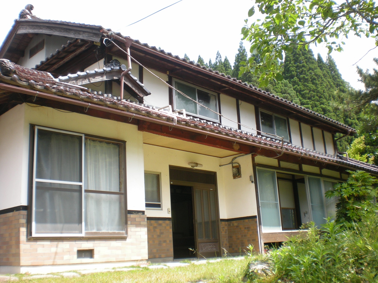


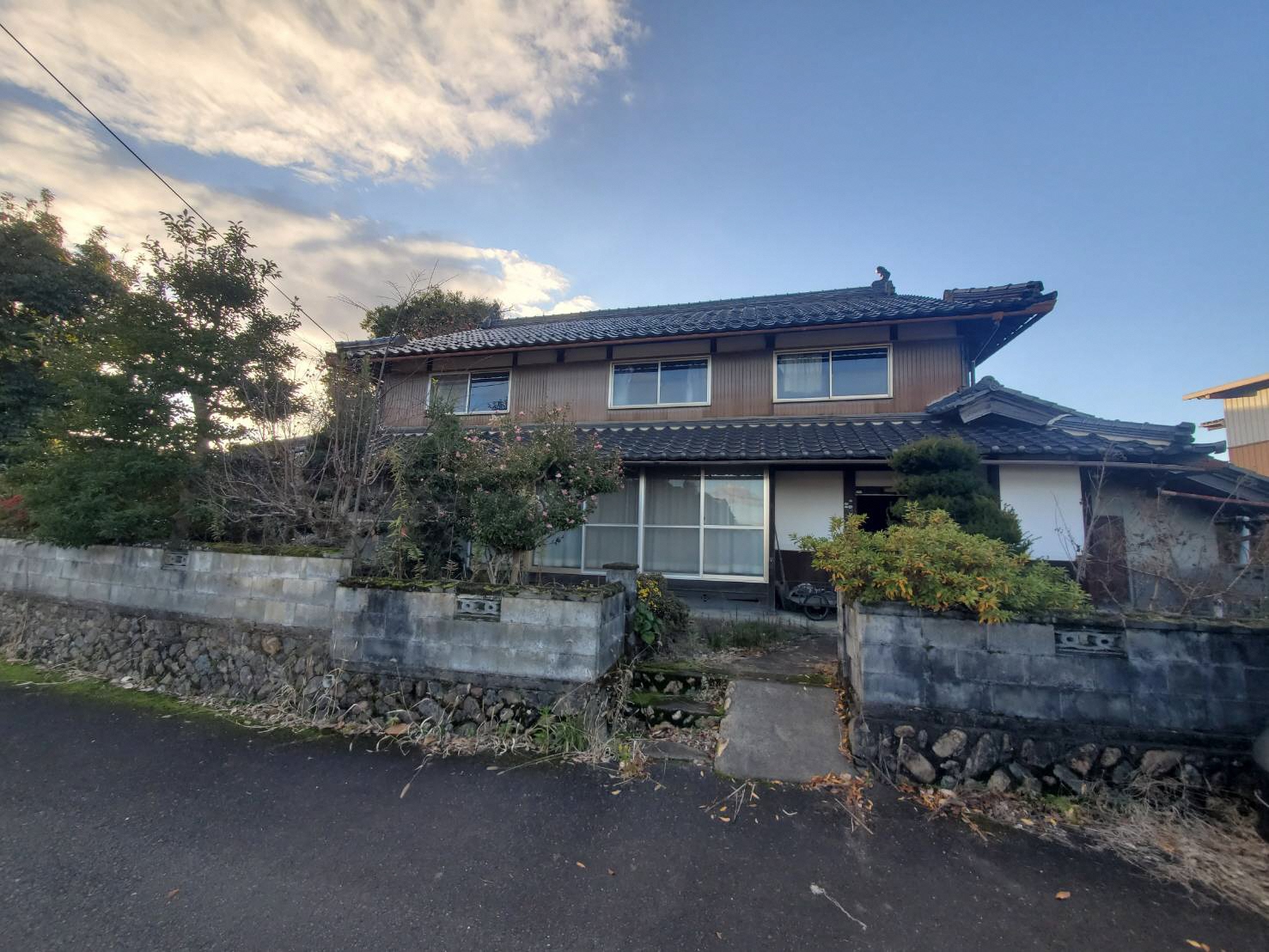
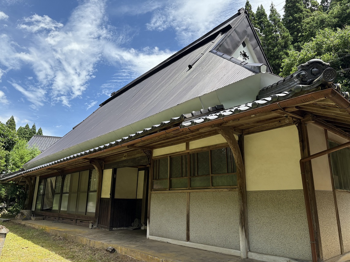
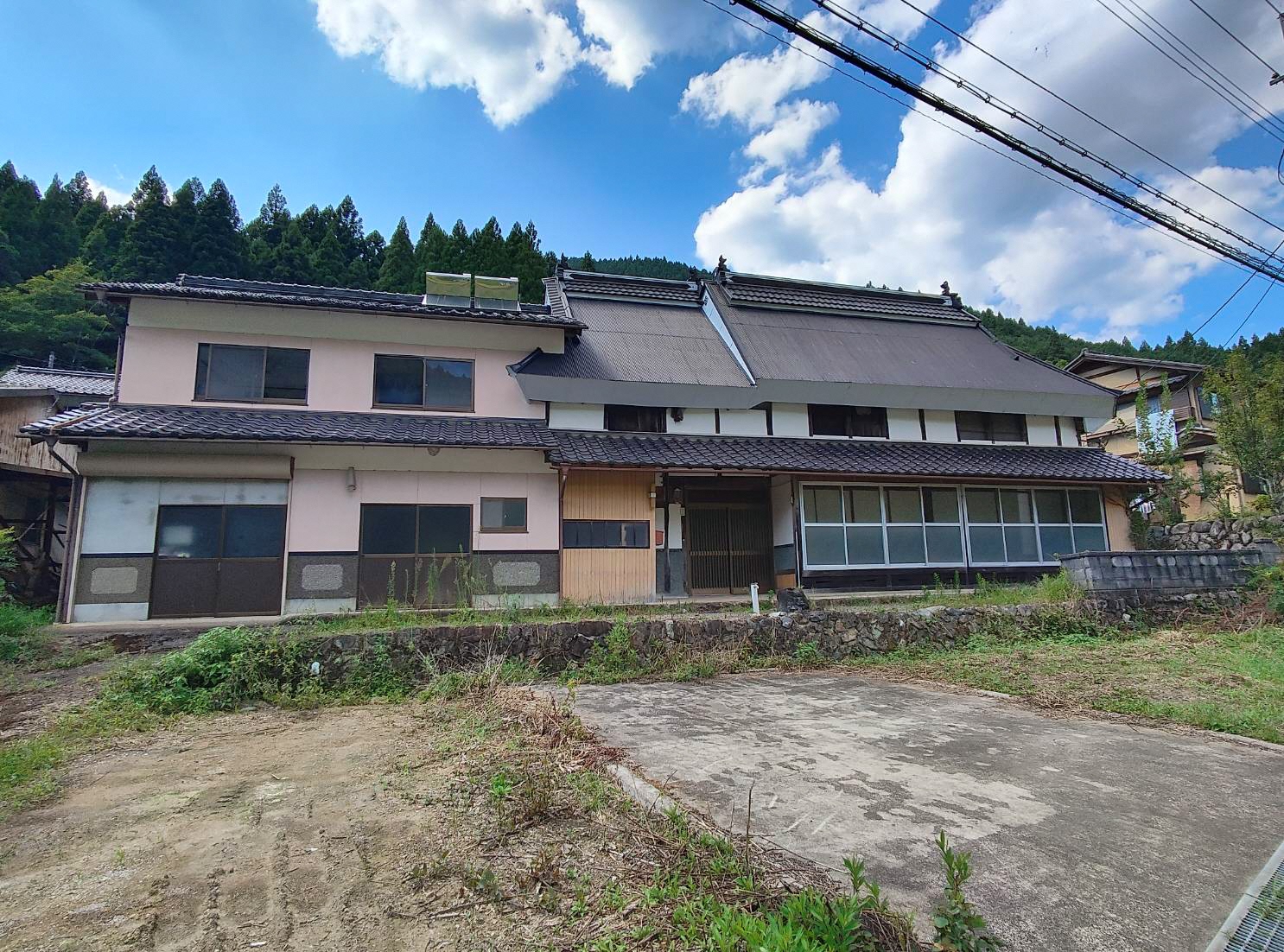
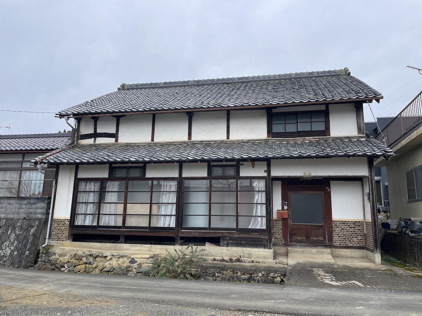
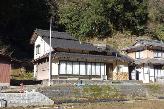
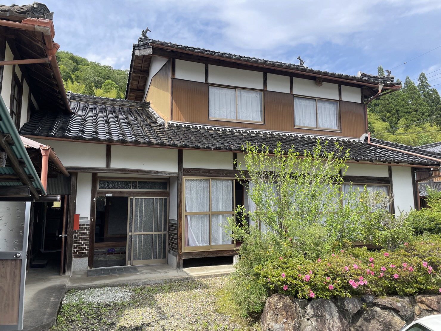
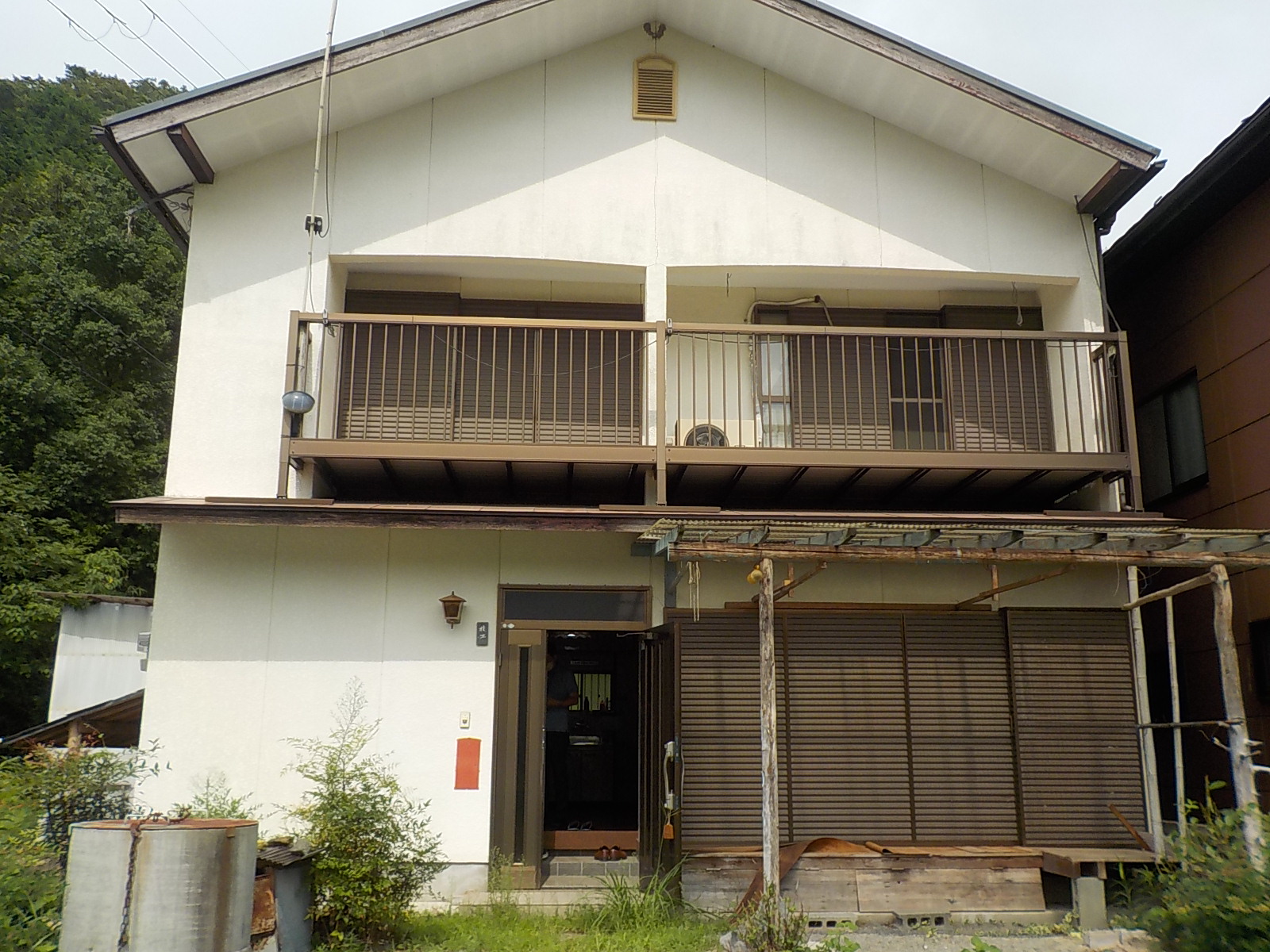

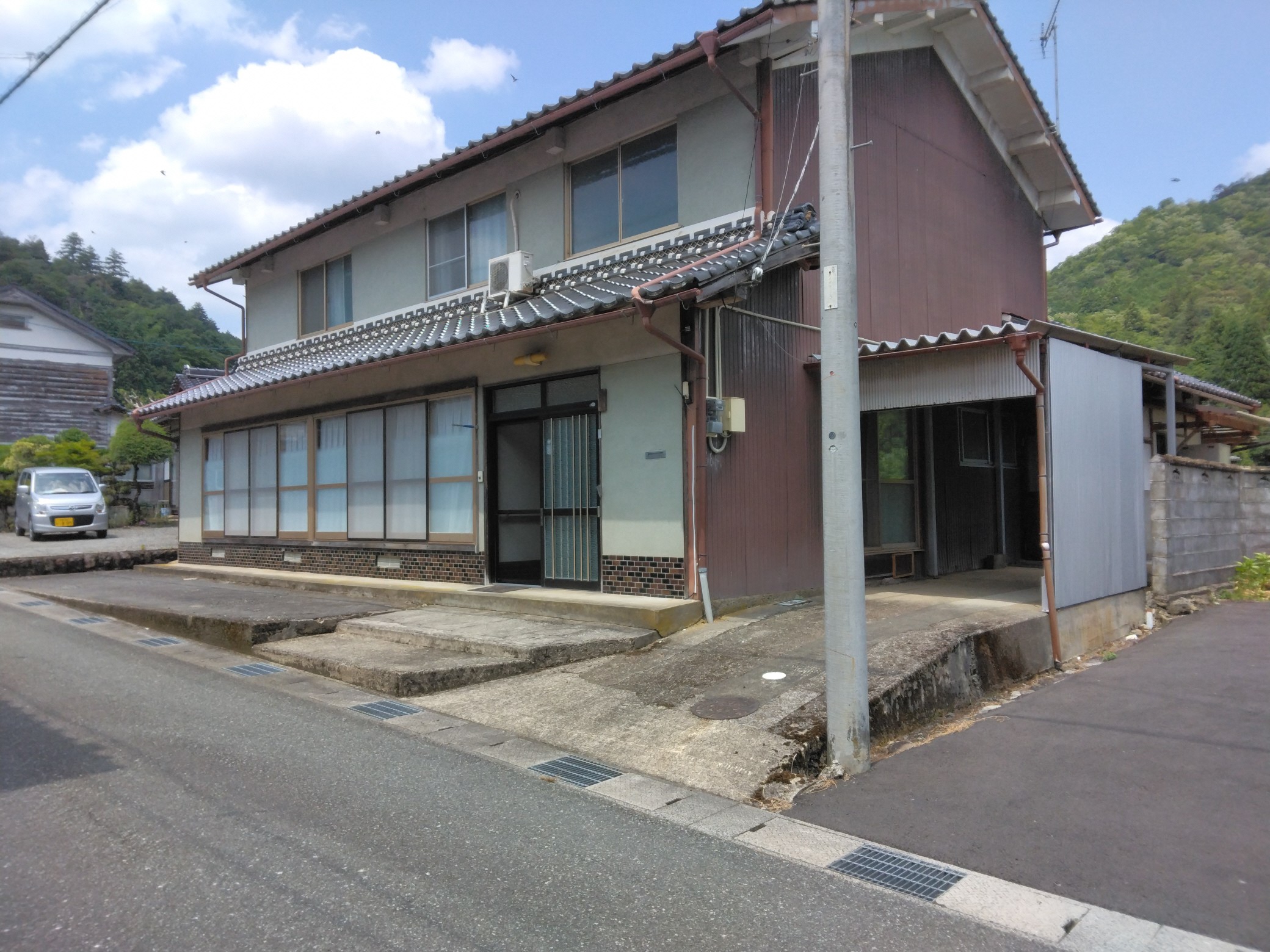
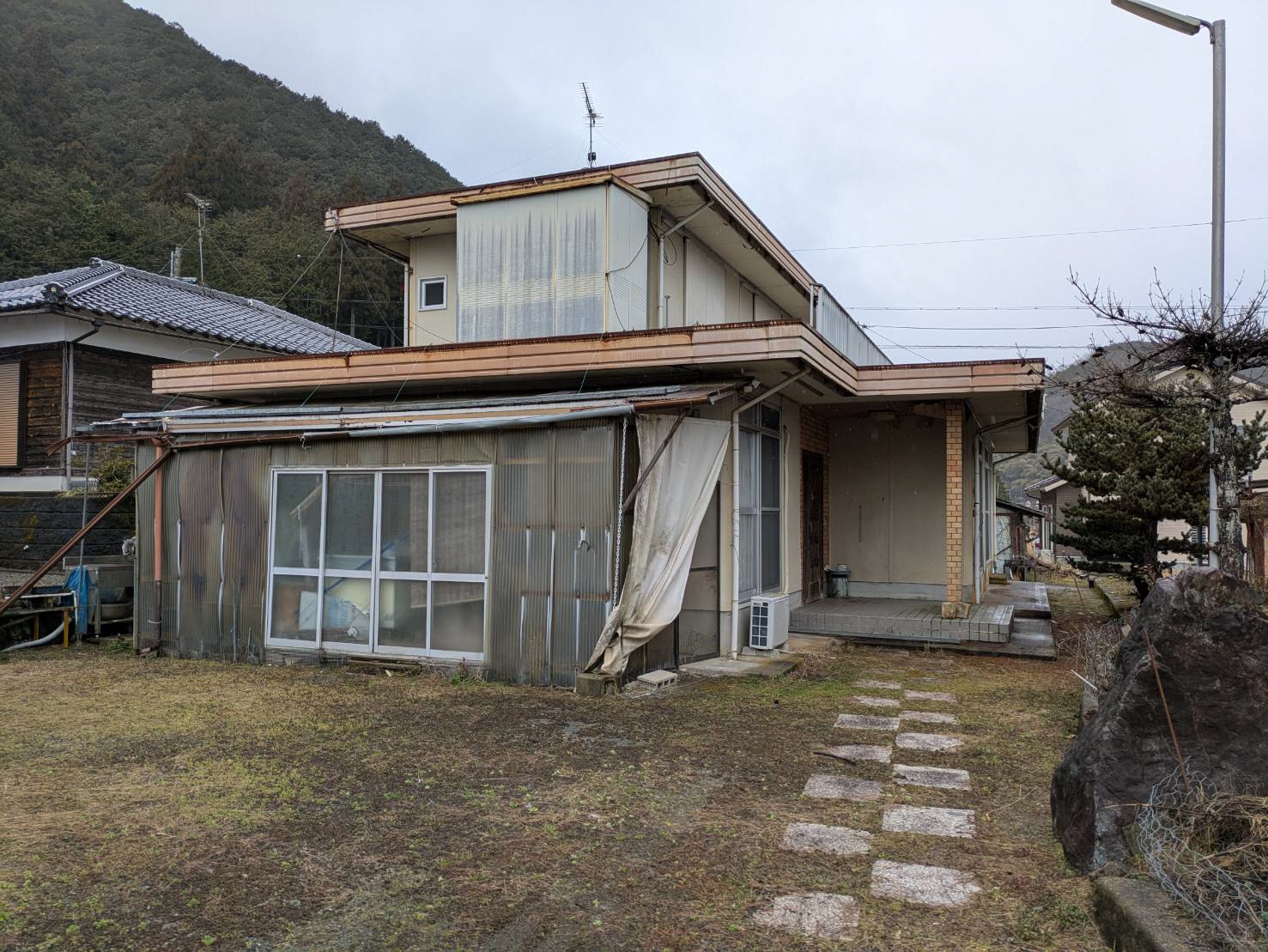
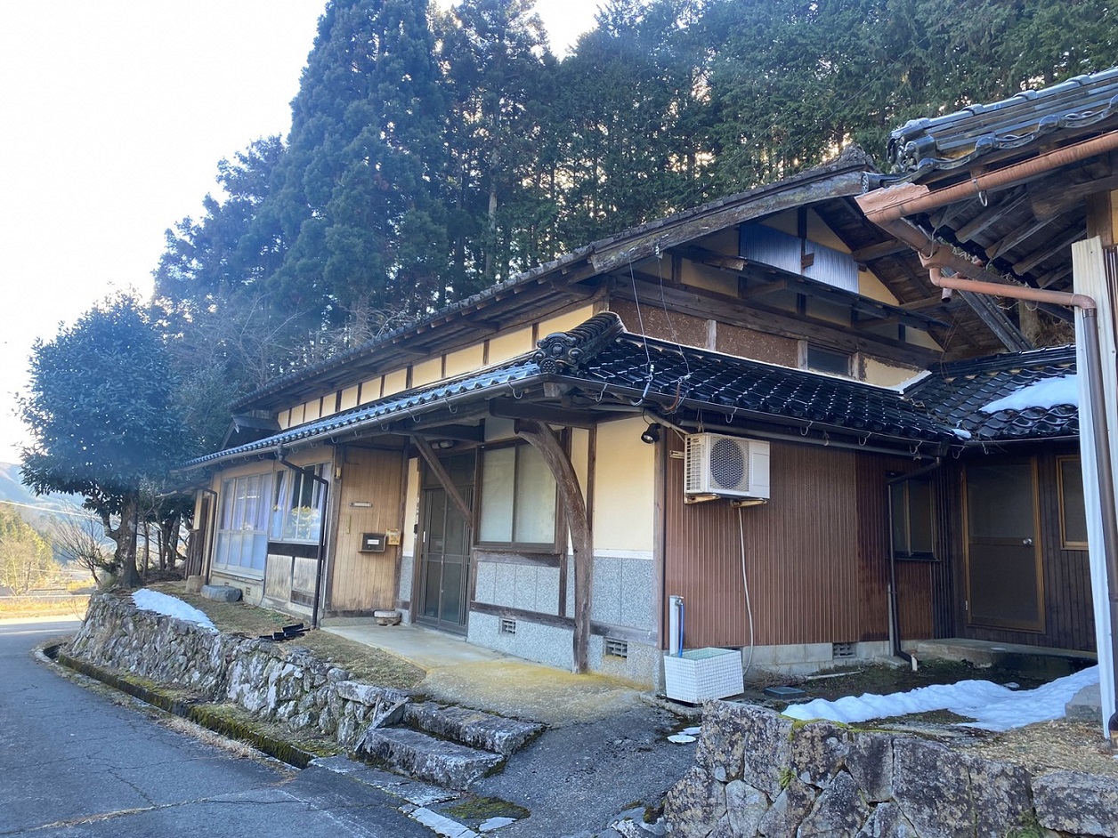
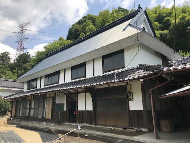




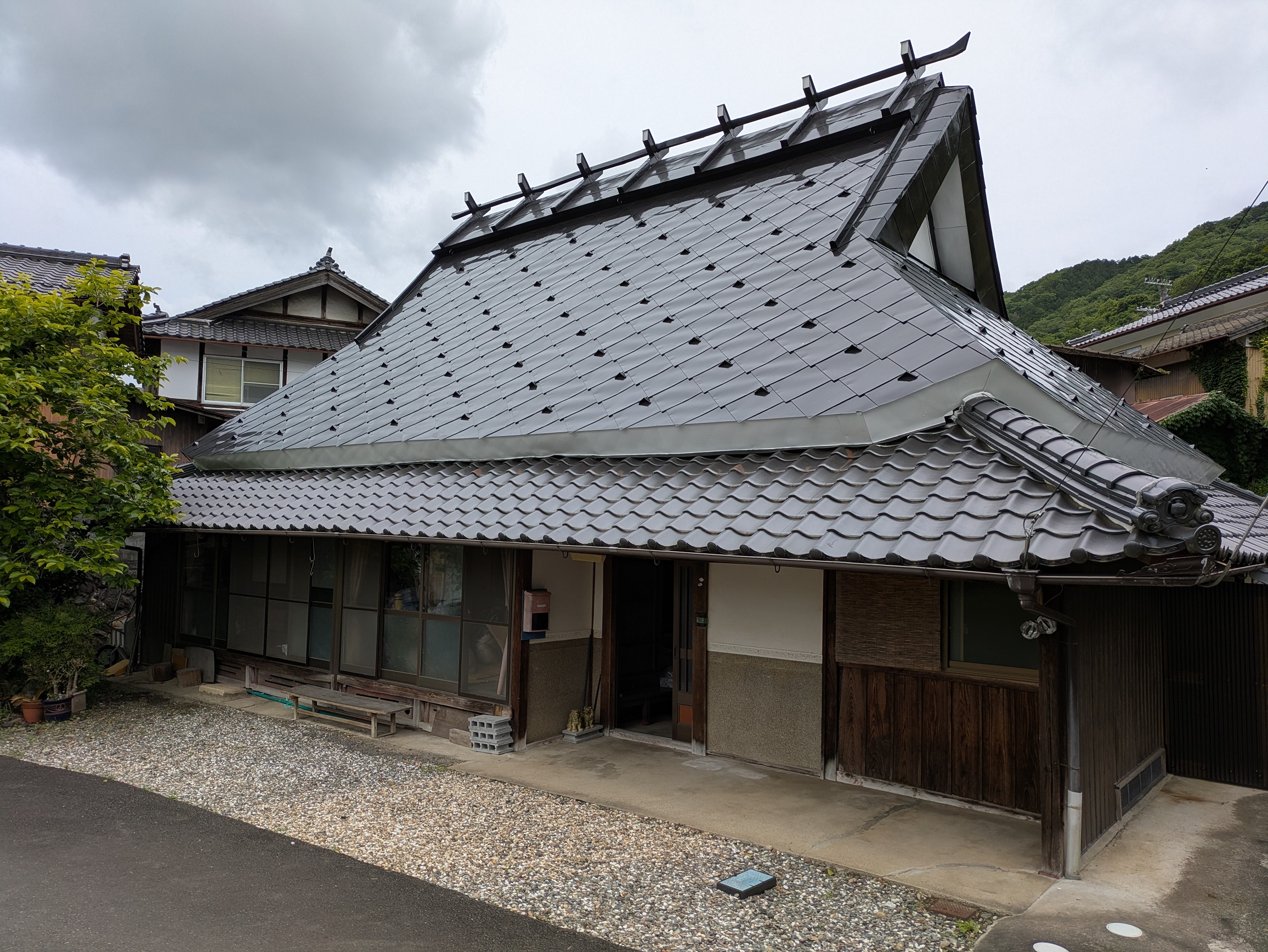
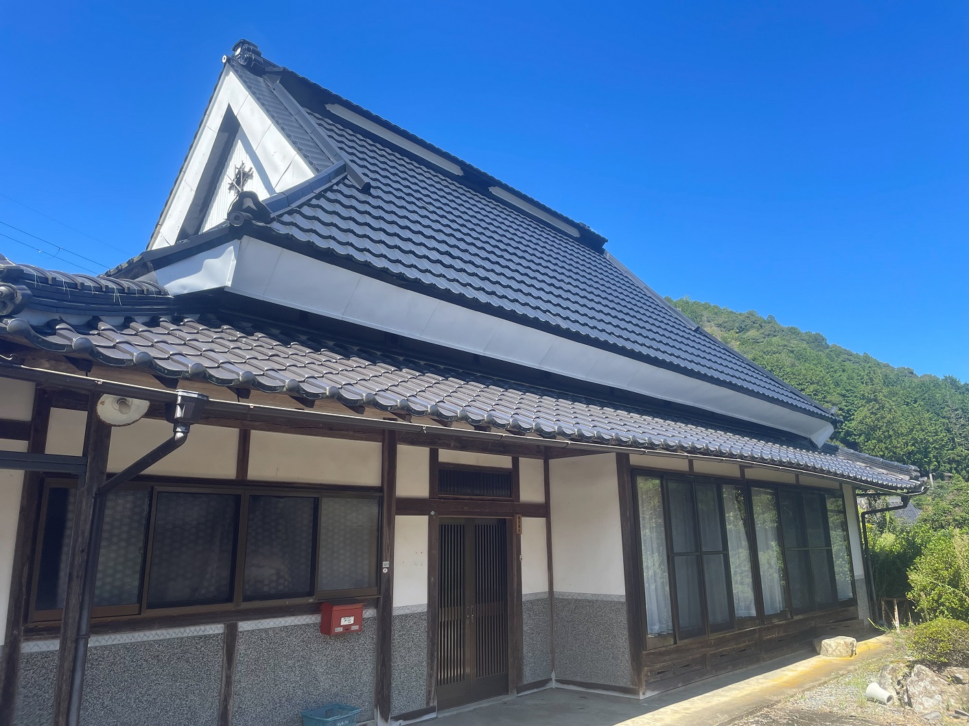
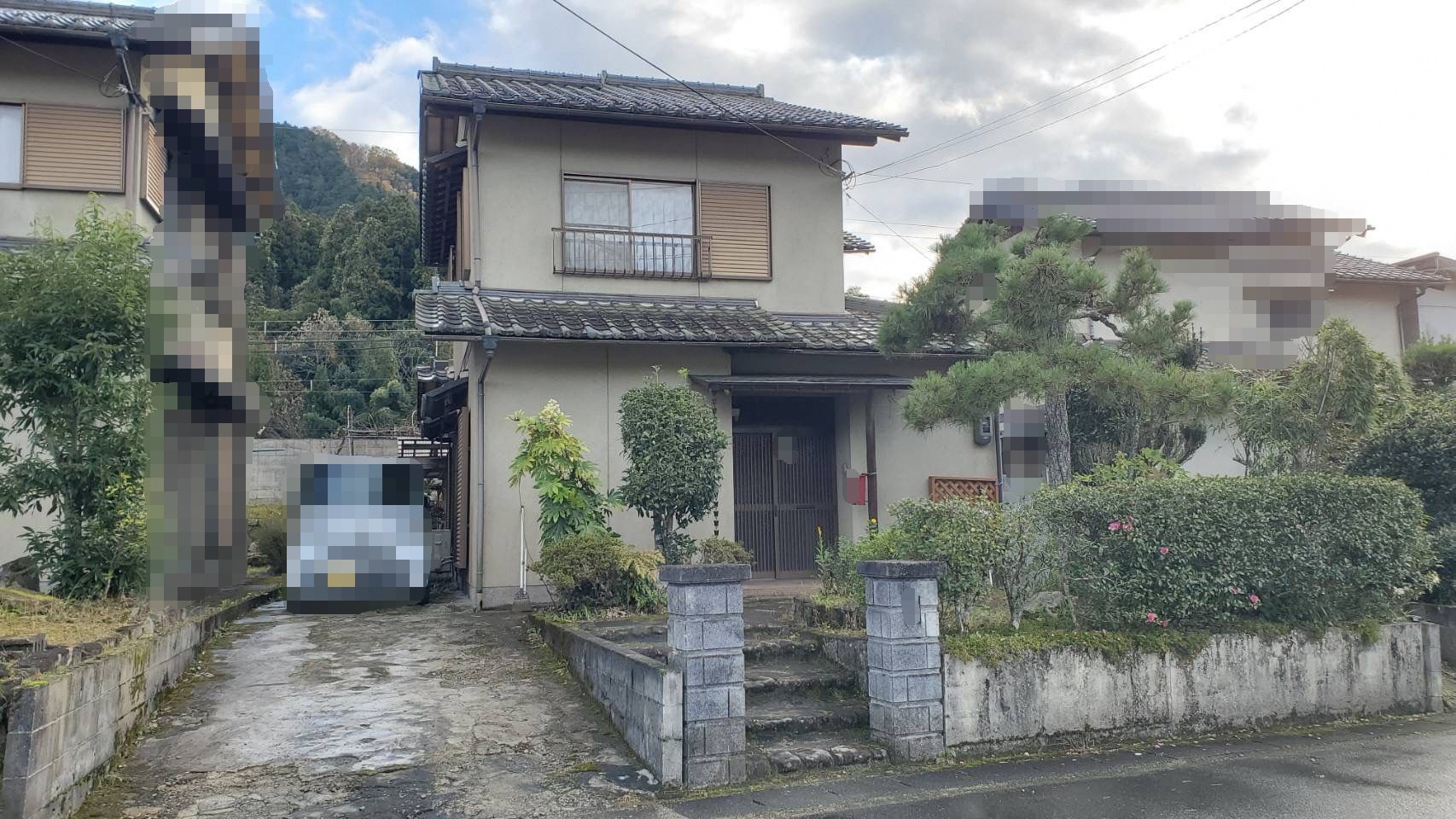
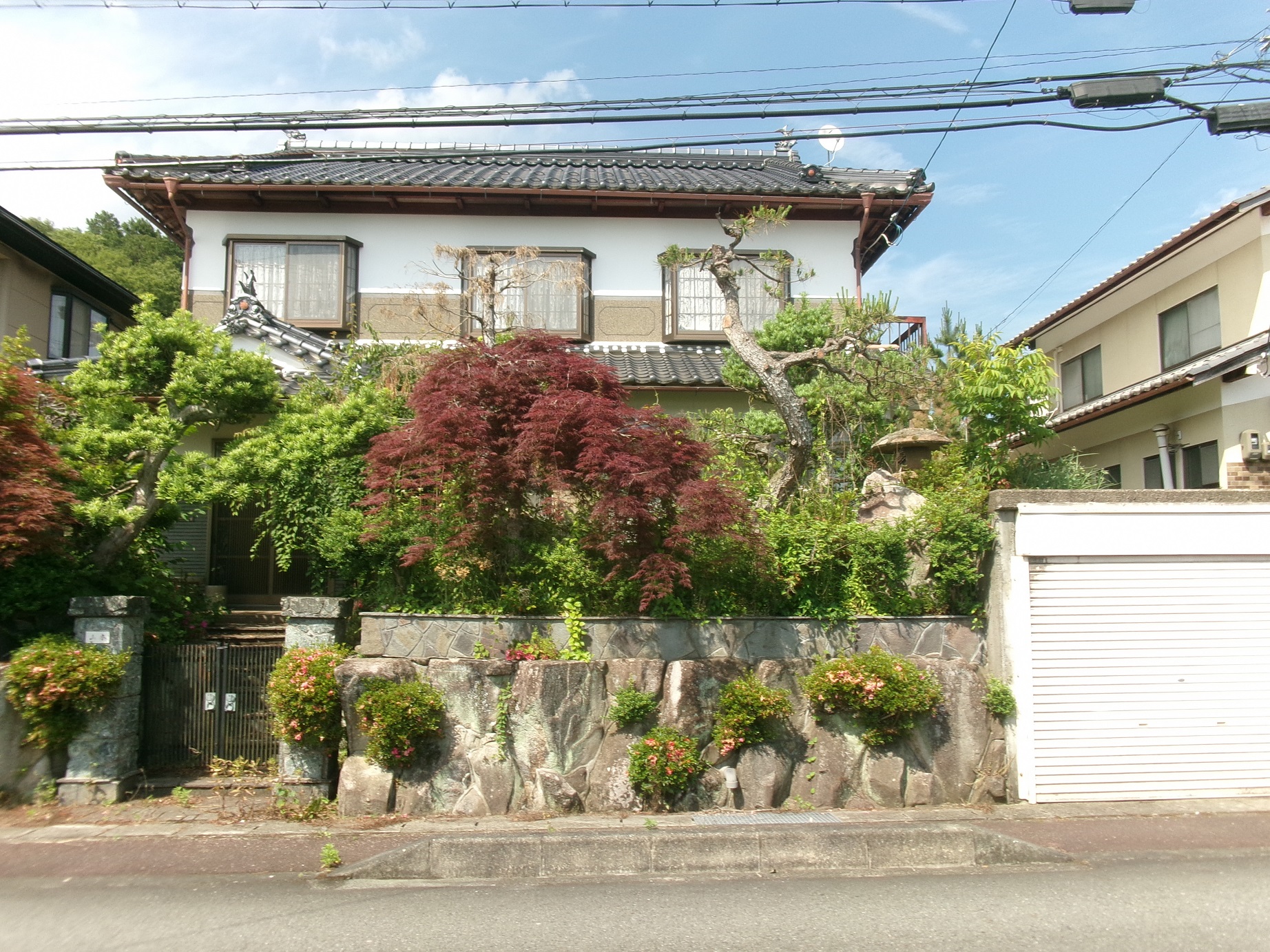
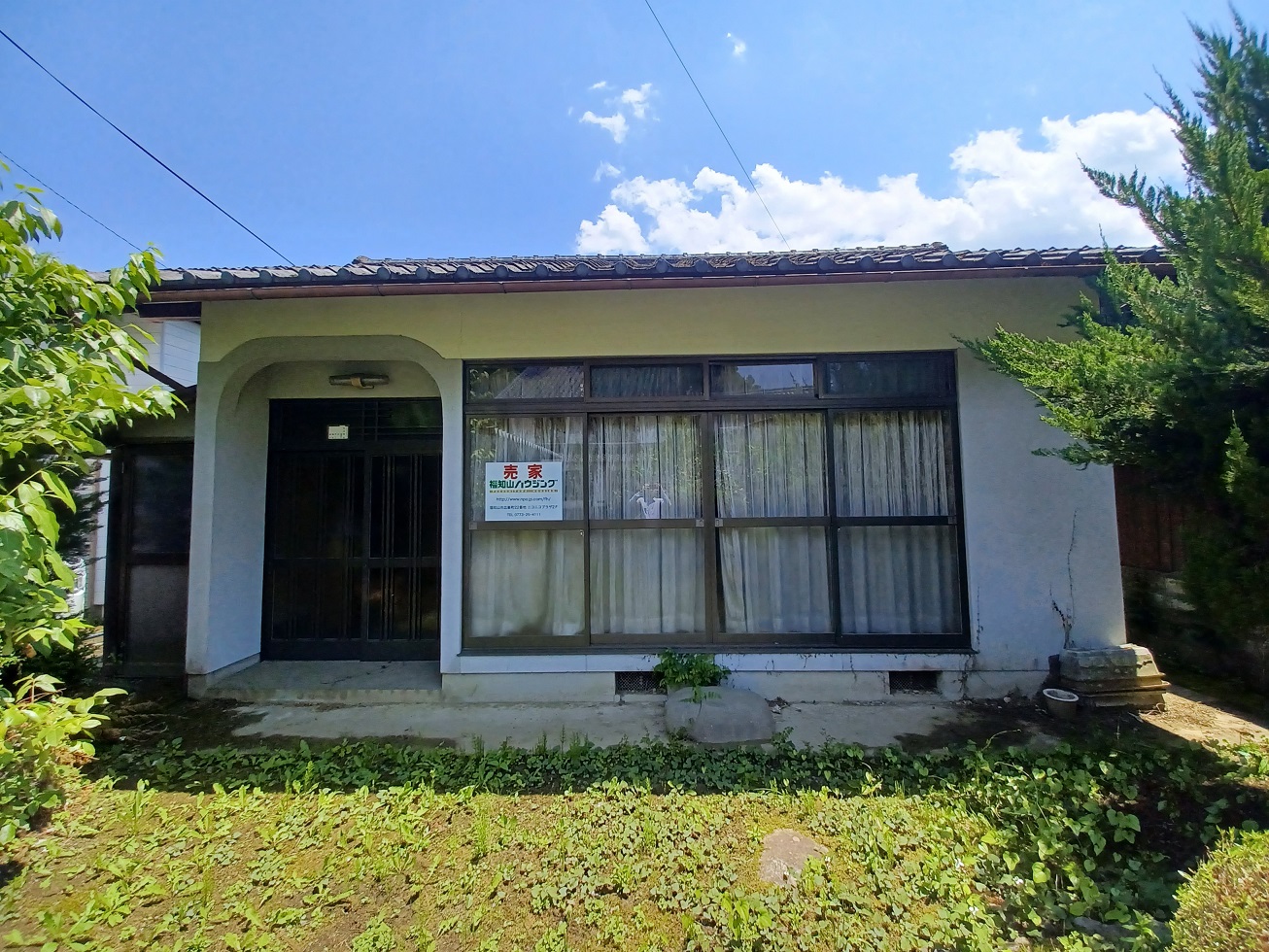
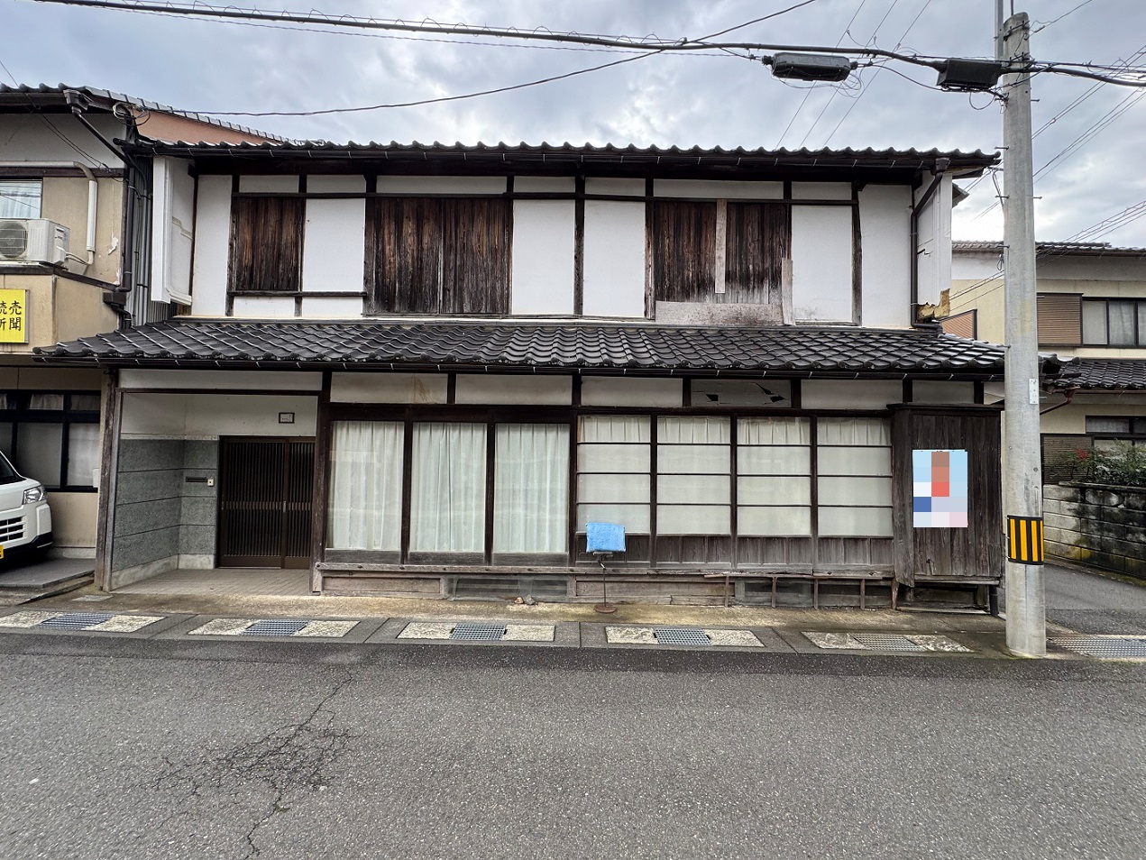
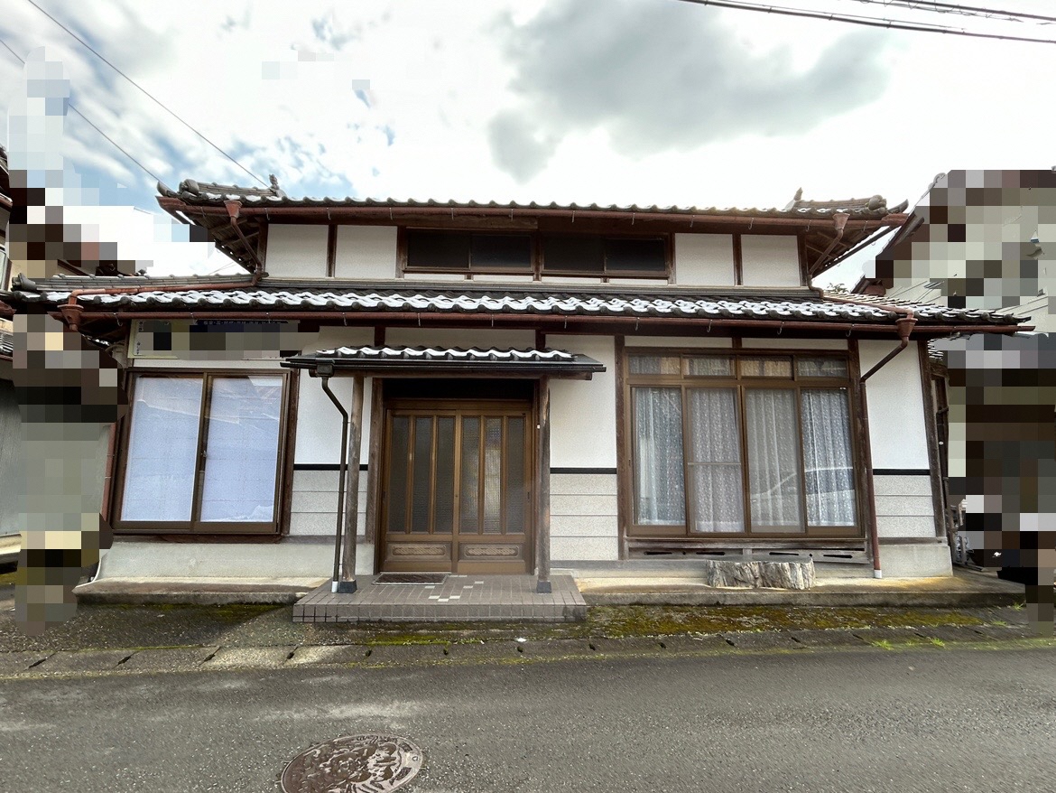
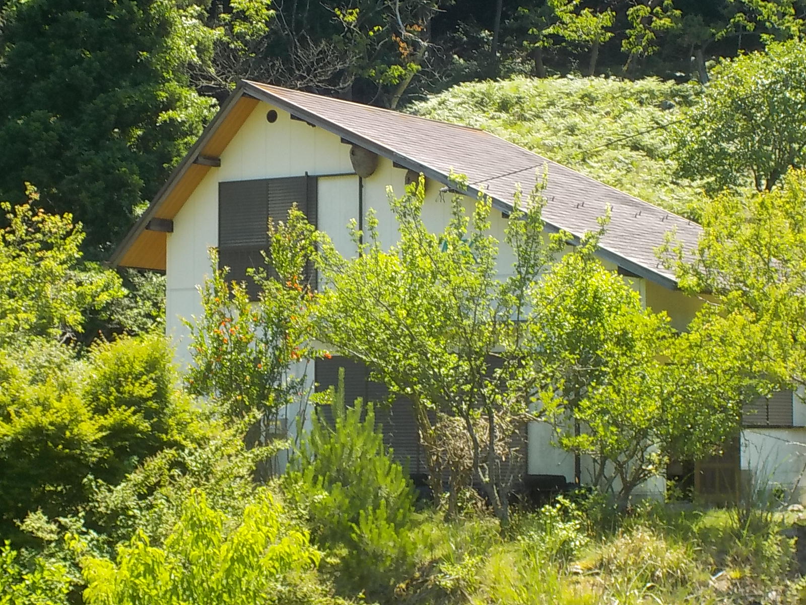



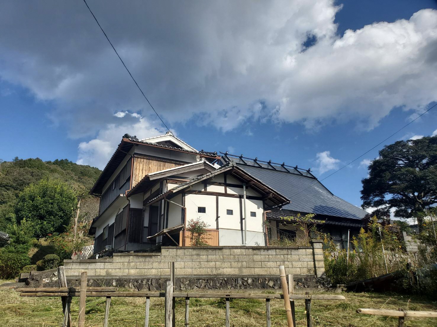
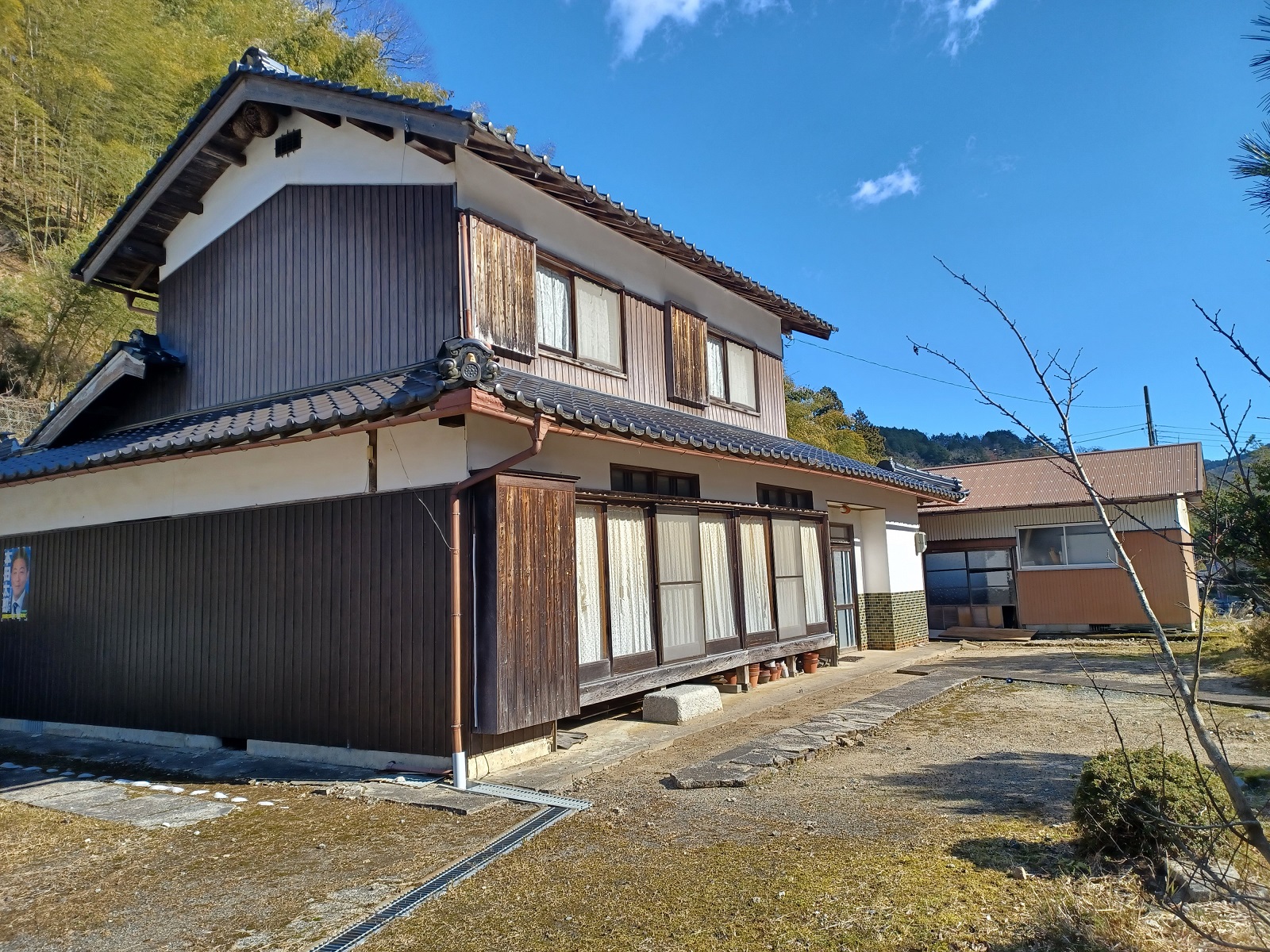
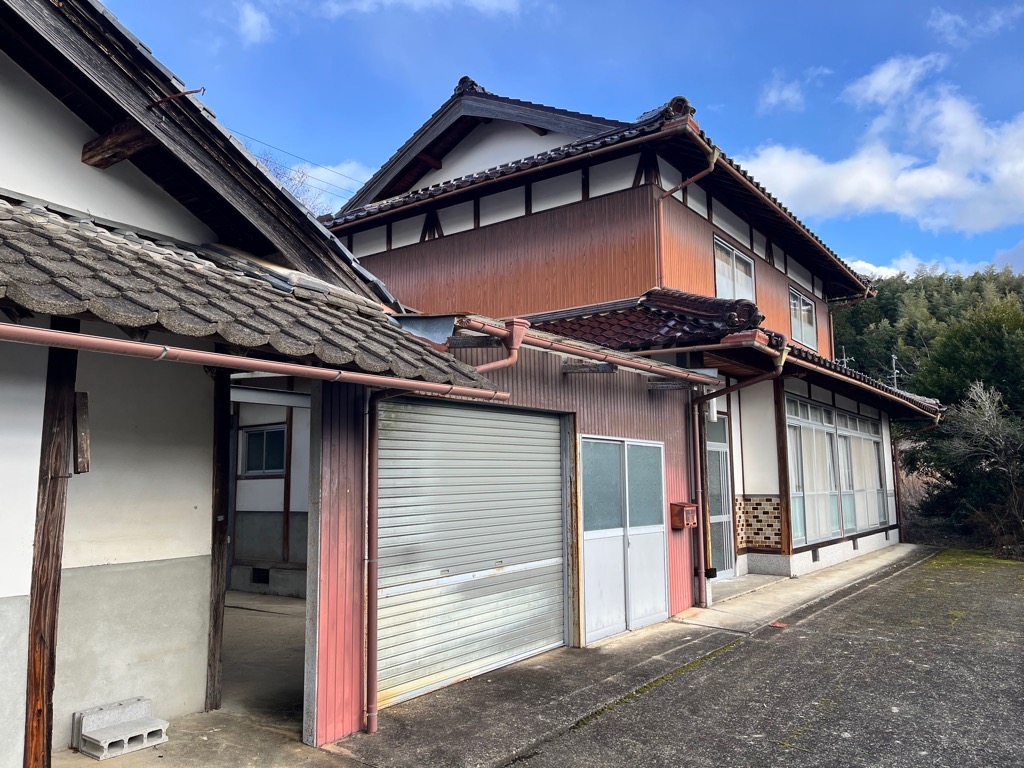
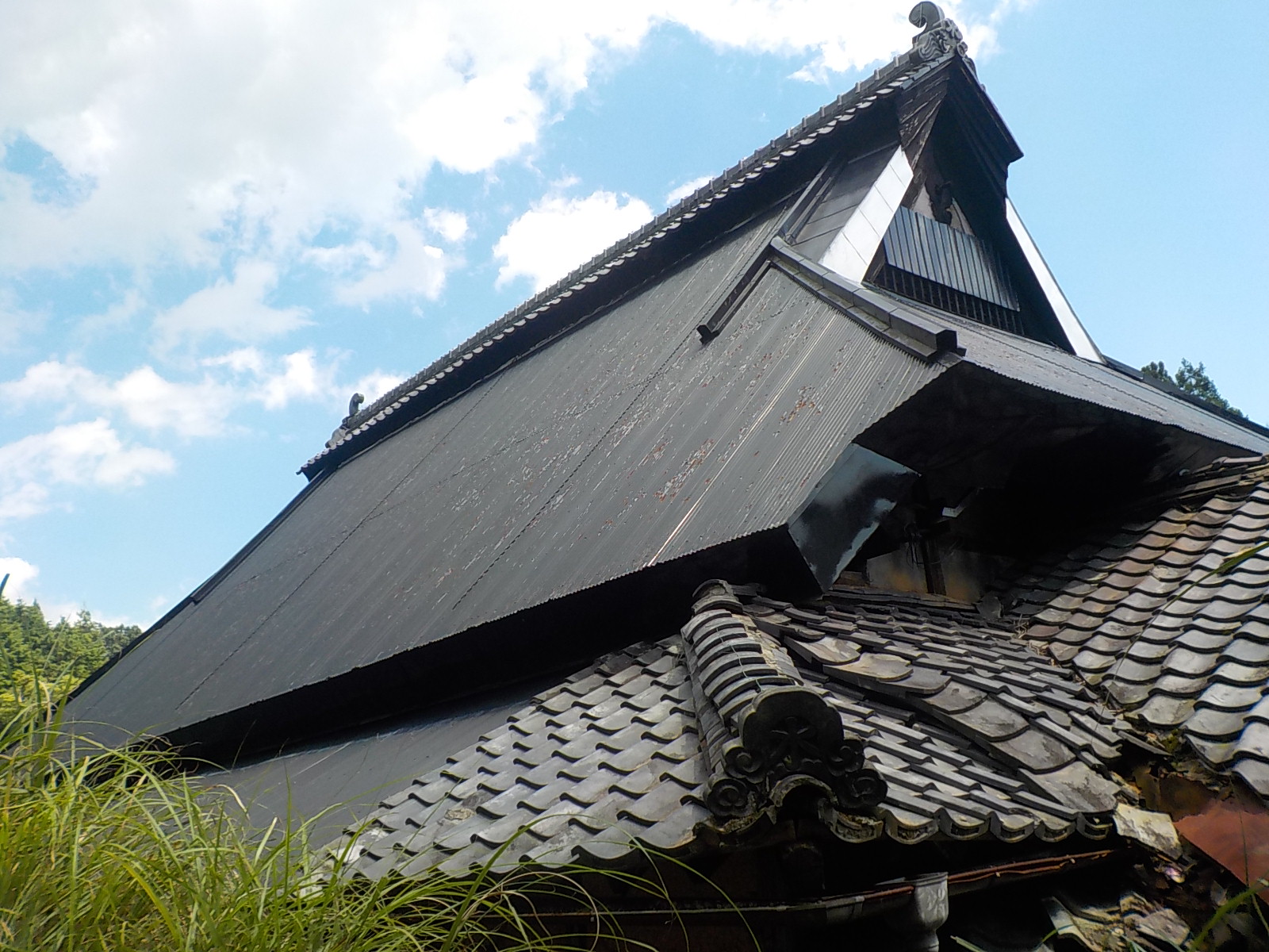
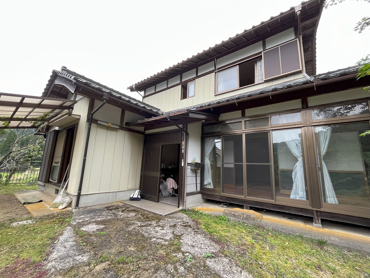
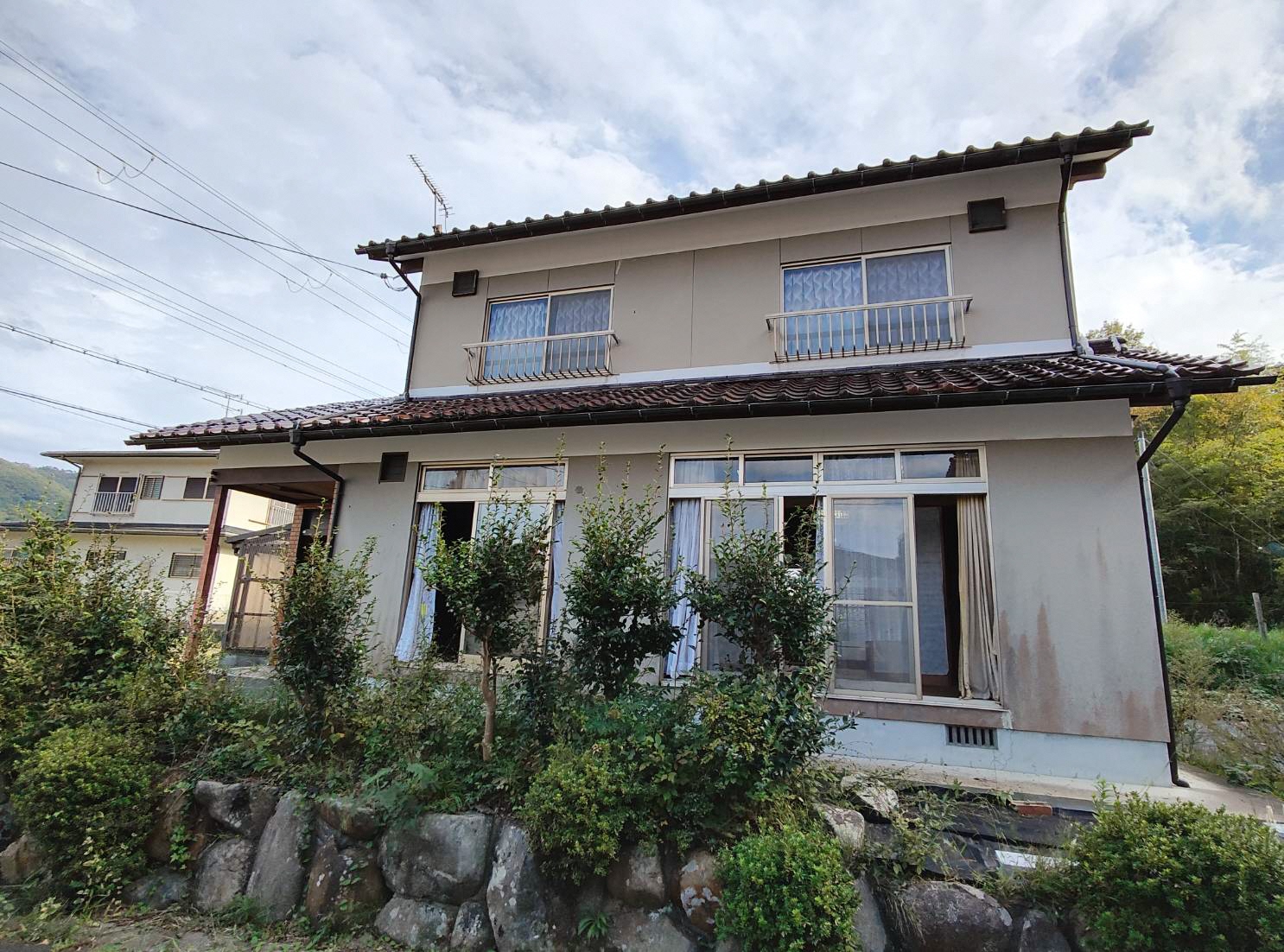
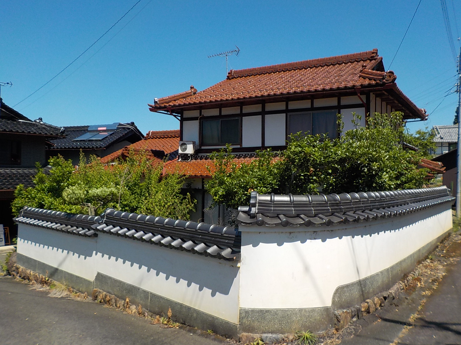
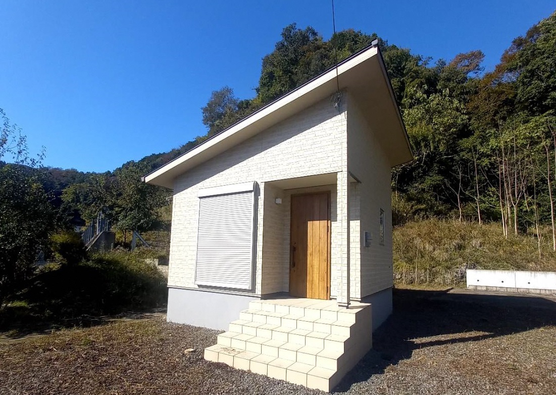
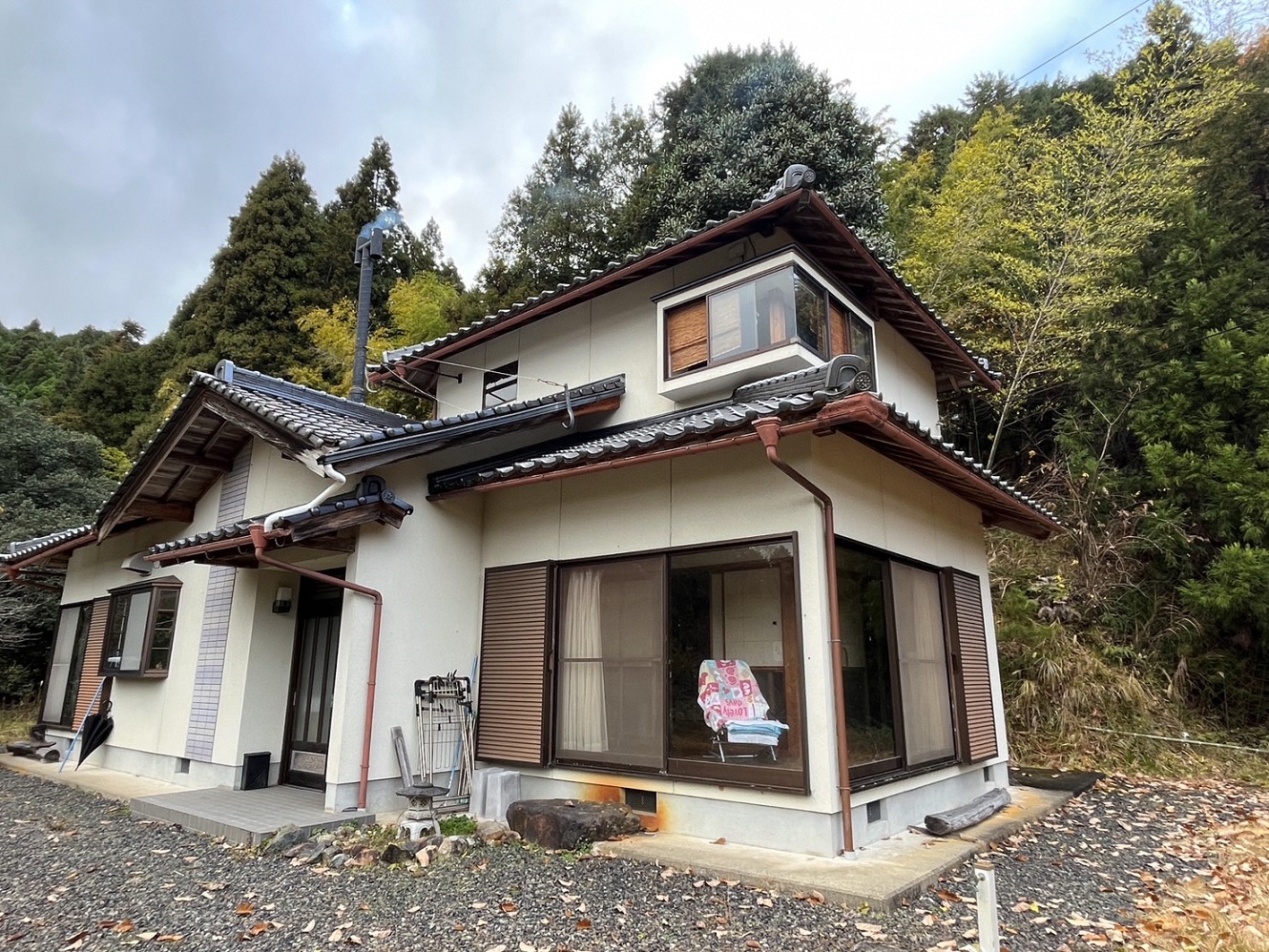
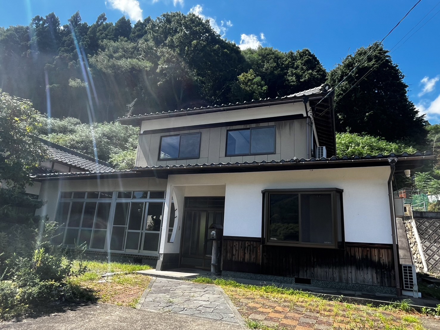
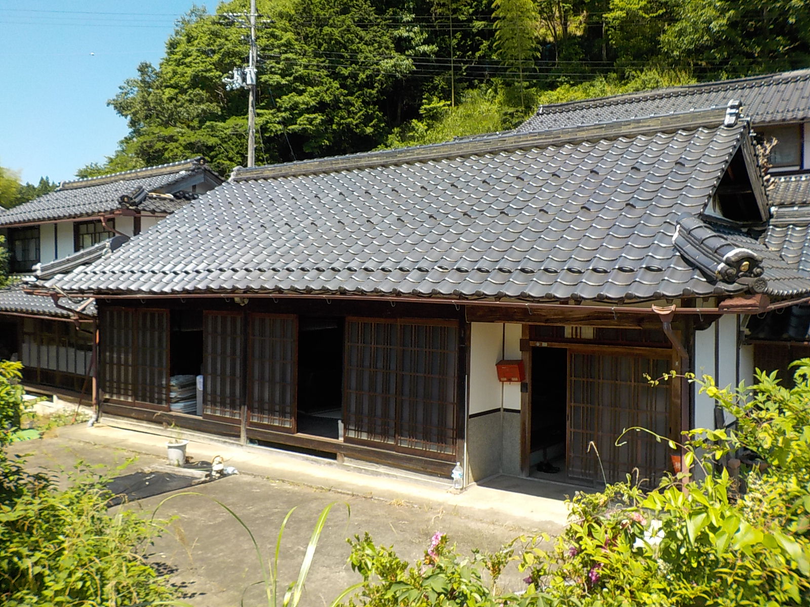


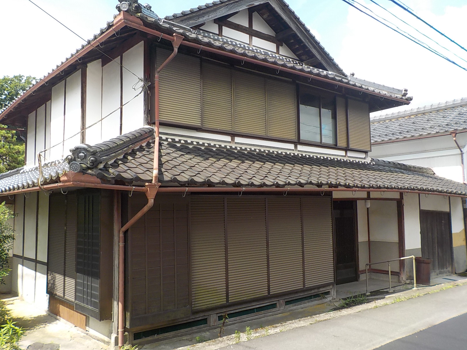
What is the cheapest house you can buy in Fukuchiyama?
SUUMO has 65 second-hand detached houses listed, and the cheapest is ¥600,000 in Aza Kawagita (built 1965, land 468 m², building 214 m²).
CHAPTER 05Is the ground safe?
Is this town inside a national earthquake-preparedness zone?
For each major earthquake, national law designates the areas where preparation is to be advanced. Whether a town is designated tells you directly how the national government views the shaking and tsunami expected there.
| Nankai Trough Earthquake Disaster Prevention Promotion Area | Not designated |
|---|---|
| Tokyo Inland Earthquake Emergency Measures Area | Not applicable (the whole of Kyoto Prefecture is outside this scheme) |
| Japan Trench / Kuril Trench Earthquake Disaster Prevention Promotion Area | Not applicable (the whole of Kyoto Prefecture is outside this scheme) |
| Shaking of intensity 6-lower or above within 30 years | 5.6% (1.0% for Shindo 6-upper or above) At Fukuchiyama City Hall. Surface ground AVS30 271 m/s, valley-floor lowland |
Look up an address on J-SHIS → Designations from the Cabinet Office list of designated municipalities (Nankai Trough Earthquake Disaster Prevention Promotion Area/Tokyo Inland Earthquake Emergency Measures Area/Japan Trench / Kuril Trench Earthquake Disaster Prevention Promotion Area ) / probability and surface ground from theNational Research Institute for Earth Science and Disaster Resilience, J-SHIS earthquake hazard information API (2024 edition, average case, all earthquakes), queried at the town hall coordinates / verified 2026-08-13
The largest preparations Fukuchiyama has made have been against the water of the Yuragawa
Fukuchiyama sits in the basin where the Hazegawa and the Makigawa join the Yuragawa. Rain that falls upstream arrives here all at once, and because the town centre lies lower than the main channel, the smaller rivers inside the city cannot drain away once the main channel rises (inland flooding). That is what has happened here again and again.
| When | What has happened in the Yuragawa basin |
|---|---|
| Meiji 29 (1896) (1896) | 200 dead, 371 houses swept away or destroyed |
| October Heisei 16 (2004) Typhoon No. 23 | Over 250 mm of rain in total. 5 dead, 1,251 houses flooded above floor level, 418 below |
| September Heisei 25 (2013) Typhoon No. 18 | About 1,600 houses flooded, about 2,500 ha inundated |
| August Heisei 26 (2014) the August downpour | Across the Yuragawa basin, 1,155 homes flooded above floor level and 1,296 below. In the Fukuchiyama district alone, 1,586 above floor level and 1,712 below |
After 2014, the national government, Kyoto Prefecture and the city completed ¥5,500,000,000 of works
After the heavy rain of August Heisei 26, the national government, Kyoto Prefecture and Fukuchiyama City set up the "Council for comprehensive flood control in the Yuragawa basin (Fukuchiyama City area)" and divided the work between them, with the goal that rain on the same scale would no longer flood homes above floor level. The works were completed in May Reiwa 2.
| Who | What they did |
|---|---|
| The national government | Upgraded the existing drainage pumping stations by +27 m³/s (Araga, Norikawa and Kobogawa). Total cost ¥5,500,000,000, FY Heisei 27 to FY Reiwa 1. A new pit for mobile drainage pumps was added at the same time (equivalent to 11 m³/s), and the pumping stations themselves were made flood-resistant |
| Kyoto | River works on the Kobogawa (L=3.0 km) and the Norikawa (L=1.4 km), a retention basin of 200,000 m³, and a drainage pumping station (emergency pumps, 11 m³/s) |
| Fukuchiyama City | Upgraded the Wakuichi pumping station (+1 m³/s, made flood-resistant), improved regulating ponds and irrigation reservoirs by 210,000 m³, added 10,000 m³ of storage facilities and 20,000 m³ of on-site storage, and enlarged the existing sewer pipes |
In other words, the Yuragawa can be read as a river whose works are finished. On top of that, you can check how the specific address you are looking at is projected to fare, using the link below. Source: Ministry of Land, Infrastructure, Transport and Tourism, Kinki Regional Development Bureau, "Ex-post evaluation of the Yuragawa special emergency works against above-floor flooding (Fukuchiyama district)" (PDF) (December Reiwa 6, Project Evaluation Oversight Committee, FY Reiwa 6 third meeting, document No. 3-1) / checked 2026-08-13
There are 2,384 landslide warning zones in the city
The zones designated by Kyoto Prefecture under the Sediment Disaster Prevention Act number 2,384, across 28 districts in Fukuchiyama City. The prefecture's page states that "all the areas covered by the basic survey to date have been designated". Most of the city's 552.54 km² is forest, and the settlements in the valleys usually border one of these zones. For a property on a hillside or in a valley, look at the map and see whether it is inside a zone or outside one.
Source:Kyoto Prefecture, designated landslide warning zones/ Verified 2026-08-13Checking for yourself whether this lot is safe
Fukuchiyama City comprehensive disaster hazard map → Yuragawa river system flood inundation projection maps (MLIT) → River disaster information (Yuragawa water levels, MLIT) → Kyoto Prefecture, landslide warning zones → Overlay hazard map (MLIT) → J-SHIS earthquake hazard →Is the disaster risk high in Fukuchiyama?
None of the three national programme areas applies here, and the chance of shaking of Shindo 6-lower or above within 30 years is 5.6% (1.0% for 6-upper or above). The city hall, however, stands on valley-floor lowland, so check the specific address for any property you are interested in.
CHAPTER 06What summer and winter are like
Fukuchiyama is a basin ringed by mountains. A basin climate usually swings towards hot summers and cold winters, and set beside Tokyo in the Japan Meteorological Agency's 1991-2020 normals, that shows up clearly in the numbers.
(1 mm or more, Fukuchiyama)140.1 days
The twelve months of temperature, set out as they are
The left end of each bar is the average daily minimum for that month and the right end the average daily maximum (Fukuchiyama, the 30-year average for 1991–2020).
These are the numbers for how summer nights and winter mornings compare with Tokyo
| Days per year | Fukuchiyama | Tokyo |
|---|---|---|
| Tropical nights minimum 25°C or above | 6.0 days | 17.8 days |
| Days above 35°C maximum 35°C or above | 13.7 days | 4.8 days |
| Days above 30°C maximum 30°C or above | 65.0 days | 52.1 days |
| Frost days minimum below 0°C | 54.0 days | 15.2 days |
| Days below freezing all day maximum below 0°C | 0.1 days | 0.0 days |
What tells is not the mean temperature but "13.7 days above 35°C and 54 frost days"
| Days per year (long-term average) | Fukuchiyama | Tokyo |
|---|---|---|
| Days above 35°C | 13.7 days | 4.8 days |
| Days above 30°C | 65.0 days | 52.1 days |
| Summer days (25°C or above) | 131.1 days | 118.5 days |
| Tropical nights (minimum 25°C or above) | 6.0 days | 17.8 days |
| Frost days (minimum below 0°C) | 54.0 days | 15.2 days |
| Days below freezing all day (maximum below 0°C) | 0.1 days | 0.0 days |
Summer — the days are distinctly hotter than Tokyo, and the nights distinctly cooler. There are 13.7 days a year at 35°C or above, about three times Tokyo's figure. But tropical nights number 6.0 a year, a third of Tokyo's 17.8. You will want cooling during the day, and far fewer nights are too warm to sleep than in Tokyo.
Winter — 54 mornings a year fall below freezing. That is 3.5 times Tokyo. Days that stay below 0°C are all but absent (0.1 midwinter days a year), so it is the mornings that are cold. Even so, from December to February frozen roads and frost on the windscreen are part of the morning. Winter tyres are needed, and outdoor taps want freeze protection. Sources: Japan Meteorological Agency, normals for Fukuchiyama (Kyoto) / the same for Tokyo (both 30-year averages for 1991-2020) / checked 2026-08-13
What are summer and winter like in Fukuchiyama?
It is a basin ringed by mountains, so the August daily maximum of 32.8°C is higher than Tokyo's 31.3°C, and the January daily minimum of -0.2°C is lower than Tokyo's 1.2°C. Annual sunshine is 1,547 hours, 380 hours less than Tokyo.
CHAPTER 07Shops, hospitals, schools
Hospitals — where you are taken if you collapse in the night
On this point Fukuchiyama is the centre of northern Kyoto Prefecture. Fukuchiyama City Hospital is designated as one of only six critical care centres (tertiary emergency care) in Kyoto Prefecture. It is the only one in the Chutan medical region (Fukuchiyama, Maizuru and Ayabe).
| Hospitals | Beds | Role |
|---|---|---|
| Fukuchiyama City Hospital | 344 beds | 🔴 Critical care centre (tertiary) / secondary emergency care. 43 advanced acute, 257 acute, 44 recovery |
| Kyoto Renaiss Hospital | 171 beds | 63 acute, 100 recovery |
| Watanabe Hospital | 96 beds | Long-term |
| Matsumoto Hospital | 95 beds | 76 long-term, 19 wards closed or similar |
| Fukuchiyama City Hospital, Oe Branch | 52 beds | Recovery (Oe-cho) |
| Okamoto Obstetrics and Gynaecology / Yura Obstetrics and Gynaecology, Isa Branch | 9 beds / 3 beds | Obstetrics |
| Fukuchiyama City Holiday Emergency Clinic | — | Primary emergency care (holidays and nights) |
Schools — 14 primary and 9 lower secondary schools. There is a university in the city too
As of 1 May Reiwa 8, Fukuchiyama City runs 14 primary schools (3,753 pupils) and 9 lower secondary schools (1,901 pupils), plus 6 kindergartens and integrated centres (224 children). Nanryo Lower Secondary (552) and Nisshin Lower Secondary (579) in the town centre are the large ones, while Kawaguchi, Miwa and Yakuno run at about one class per year group.
For higher education, the city runs the University of Fukuchiyama (faculties of regional management and of information science) within the city. In northern Kyoto Prefecture, whether there is a four-year university a child can attend from home after finishing upper secondary school makes a real difference.
Source:Fukuchiyama City Board of Education, numbers of kindergarten, primary and lower secondary pupils(FY Reiwa 8 survey of pupil numbers by school, year group and sex, as of 1 May Reiwa 8) / The same, list of municipal primary schools and their catchment areas/The same, list of municipal lower secondary schools and their catchment areas/ Verified 2026-08-13Shopping — two stores over 10,000 m². The hill towns have food shops of their own
Fukuchiyama is the city in northern Kyoto Prefecture with the most shops. Going by the filings Kyoto Prefecture holds under the Large-scale Retail Stores Location Act, the main stores in the city are these.
| Store | Retail floor area | Location and type |
|---|---|---|
| Aeon Fukuchiyama | 14,956㎡ | East of the town centre (the former Jusco Fukuchiyama) |
| SUPER CENTER PLANT-3 Fukuchiyama | 12,240㎡ | Aza Tonoichi. 9:00-22:00, open every day |
| Home Center Kohnan Fukuchiyama Ekimae | 7,574㎡ | By the station |
| Frespo Fukuchiyama | 4,854㎡ | Anchored by Fresh Bazaar |
| Bazaar Town Fukuchiyama | 3,700㎡ | Sato Group |
| Nitori / Yamada / MEGA Don Quijote | 3,483/3,370/3,230㎡ | All within the city |
Is there a hospital in Fukuchiyama?
Fukuchiyama City Hospital (344 beds) is one of only six critical care centres (tertiary emergency care) in Kyoto Prefecture. It is the only one in the Chutan medical region (Fukuchiyama, Maizuru and Ayabe), and it carries the medical load of northern Kyoto Prefecture.
CHAPTER 08What it costs you every year after you buy
| Sewerage | Sewerage coverage 86.1% / rural community sewerage 9.3% / combined septic tanks 3.3%. Together, wastewater treatment coverage is 98.6% (end of FY Reiwa 6). The share of houses actually connected to the sewer is high at 98.9%, and the town centre is almost entirely on it |
|---|---|
| Water meter readings | Once every two months (bi-monthly readings since May Heisei 26). The two months' usage is halved to give a monthly figure, and billed in two instalments, in the month of the reading and the month after |
| Relocation support grant | For anyone moving from the Tokyo area who takes a job, starts a business or teleworks in the city: ¥1,000,000 per household, ¥600,000 for a single person. Up to ¥1,000,000 more per child under 18. Fukuchiyama City has been covered since April Reiwa 8 |
| Renovating an akiya | The city's grant for renovating akiya in rural and mountain areas and its grant for promoting moving in. These cover the rural and mountain areas and the special promotion zones for moving in (Yakuno-cho Heki and Hagiwara among them) |
| Trial housing | Miwa Kamikawai housing in Miwa-cho, among others. You can live in the area for a while before buying |
Are there grants if I move to Fukuchiyama?
For anyone moving from the Tokyo area who takes a job, starts a business or teleworks in the city, it is ¥1,000,000 per household and ¥600,000 for a single person (with up to ¥1,000,000 more per child under 18), and Fukuchiyama City has been covered since April Reiwa 8. Wastewater treatment coverage is 98.6%, and the town centre is almost entirely on the public sewer.
CHAPTER 09What happens when you want to sell
Fukuchiyama has 65 second-hand detached houses on SUUMO, and 85 more on the city's akiya bank — 150 in all. The akiya bank holds the larger share, which is unusual for Fukuchiyama and stands out even among the places this site has covered.
| What to look at | Fukuchiyama City in practice |
|---|---|
| Depth of the market | SUUMO 65 + 85 on the city's akiya bank = 150 in practice. Against a population of 73,446 that is one house for every 490 people — the deepest market on this site |
| Price band | SUUMO runs ¥600,000 to ¥128,000,000, with 31 listings at ¥10,000,000 or less. District medians run from ¥22,700,000 in Osada and Kikyogaoka to ¥2,200,000 in Oe-cho, a tenfold spread |
| Land prices | Residential land averages ¥36,400/m², +0.1% (all but flat). Commercial land ¥77,200/m², -0.6% (Reiwa 8 published land prices) |
| Where it stands in the prefecture | The three Chutan cities (Fukuchiyama, Maizuru and Ayabe) are at -0.4% for residential land. Within that, Fukuchiyama alone holds a positive figure, +0.1% |
| The pool of buyers | 73,446 people, 30.3% of them aged 65 or over (§10). The fact that one of only six critical care centres in Kyoto Prefecture is in the city (§7) counts for a great deal with buyers |
Will the house I buy sell when I want to sell it?
SUUMO's 65 plus the city akiya bank's 85 make 150 in practice, or one house for every 490 people — the deepest market on this site. The akiya bank holding the larger share is particular to Fukuchiyama, and residential land averages ¥36,400/m² at +0.1%, all but flat.
CHAPTER 10Who lives here, and how many
| Census | Population | Change on the previous count |
|---|---|---|
| Heisei 27 (2015) (2015) | 78,935 | — |
| Reiwa 2 (2020) (2020) | 77,306 | −2.1% |
| Reiwa 7 (2025) preliminary | 73,549 | −4.9% |
Behind that are the city opening the University of Fukuchiyama in 2016, having the Osadano Industrial Park to absorb employment, and its position where four rail lines meet. This is not to say the population is holding steady. It is that the younger generation is thinning out more gently here than round about. Source: Population Strategy Council, Reiwa 6 analysis report on the sustainability of local governments (PDF) (Fukuchiyama City = D-②, young female population decline 28.1%, an improvement of 16.1 on the previous report / Maizuru City D-②, 43.5% / Ayabe City D-③, 44.2%) / checked 2026-08-13
The information on this site is gathered by an AI that visits primary sources — municipalities, the Japan Meteorological Agency, national statistics — on a regular cycle, and it is updated with a source and a date of verification attached.
Of the 73,890 people living in Fukuchiyama City, 1,617 are foreign residents. That is below the national average of 3.26%.
Nationally, foreign residents make up 3.26% of the total population (4,031,159 out of 123,767,642).
There are 34 municipalities in Japan where the share is over 10%.
Source: calculated by this site from the municipality-level tables of the Ministry of Internal Affairs and Communications, "Population, population change and households based on the Basic Resident Register" (as of 1 January Reiwa 8, published 2026-07-29). The ministry's publication page / verified 2026-08-17
Is Fukuchiyama's population falling?
73,446 (end of July Reiwa 8); the preliminary census figure is 73,549, down 4.9% in five years. 30.3% are aged 65 or over, and in the Population Strategy Council's 2024 report the city is not classed as a municipality at risk of disappearing.
CHAPTER 11Community life and the year's events
Community life in Fukuchiyama is a different thing in the town centre and in the farming and mountain villages. The fact that the city's akiya bank covers "akiya in the rural and mountain areas" says exactly that.
| Where you live | What community life involves |
|---|---|
| Around Fukuchiyama Station, Osada and Kikyogaoka | The town centre and the newer housing areas. Mostly bin duty and the circulating notice board. There is a university in the city, so people come and go (§7) |
| Isa, Kisaichi, Araga | Villages and housing areas mixed together along the Sanin Line. Shrine festivals and maintaining the irrigation channels come into it |
| Miwa-cho, Yakuno, Oe-cho | The rural and mountain areas the city's akiya bank covers. Community life is closest here, and shared work in the village is assumed |
What comes round every year
Fukuchiyama is a basin ringed by mountains. 13.7 days above 35°C and 54 days below freezing (§6) — it swings the way a basin does, hot in summer, cold on winter mornings. And then the Yuragawa. After the 2014 flood, the national government, Kyoto Prefecture and the city completed ¥5,500,000,000 of works (§5). June and September are for the river, November for winter tyres — that is the Fukuchiyama year.
Sources: the akiya bank and the iju special zones fromTanba Fukuchiyama moving FUKUFUKU LIFE / climate as §6, the Yuragawa as §5, the university as §7 / checked 2026-08-18Is community life demanding in Fukuchiyama?
It is a different thing in the town centre and in the farming and mountain villages. Around Fukuchiyama Station, Osada and Kikyogaoka it is mostly bin duty and the circulating notice board; along the Sanin Line, shrine festivals and maintaining the irrigation channels; and in Miwa-cho, Yakuno and Oe-cho it is closest of all, with shared work in the village assumed.
CHAPTER 12Things nearby that move land prices
What tells on land in Fukuchiyama is the Yuragawa, the functions of the town, and the sheer size of the city.
1. The Yuragawa, and ¥5,500,000,000 of works
The town centre of Fukuchiyama has a median elevation of 16 m — the lowest part of the city. As set out in §5, after the 2014 flood the national government, Kyoto Prefecture and the city completed ¥5,500,000,000 of works. The fact that the works are finished works in favour of prices. That said, Oe-cho is on the lower reaches of the Yuragawa, and its being the cheapest part of the city (median ¥2,200,000) is no coincidence. Check the reason for the low price against the hazard map for the specific address.
2. Having a critical care centre
Fukuchiyama City Hospital is one of only six critical care centres (tertiary emergency care) in Kyoto Prefecture (§7). A city of 70,000 people has tertiary emergency care because it carries the medical load of the whole of northern Kyoto Prefecture. For anyone weighing up a move, that is a large condition that barely shows in the price. It is the same as Maizuru having three hospitals of 300 beds or so (from its days as a naval port): northern Kyoto Prefecture is well provided for medically — worth knowing accurately.
3. Being the third largest in Kyoto Prefecture
| City | Average, residential land | Year on year |
|---|---|---|
| Kameoka City | ¥77,500/m² | +1.8% |
| Maizuru City | ¥40,600/m² | −1.0% |
| Fukuchiyama City | ¥36,400/m² | +0.1% |
| Ayabe City | ¥27,700/m² | −0.3% |
At 552.54 km² the city is the third largest in Kyoto Prefecture (§1). That prices vary tenfold within the city is because of that size. This is not land you can describe with the single word "Fukuchiyama City". Being the only one of the three Chutan cities holding a positive figure comes from the strength of the town centre, and the mountain villages are a different market, even inside the same city — that fits what is actually happening.
Sources: land prices fromSummary of the Reiwa 8 official land prices (Kyoto Prefecture), PDF / the Yuragawa and the works as §5, hospitals as §7, area as §1 / elevations from the coordinates of the SUUMO listings (§4) / checked 2026-08-18What decides land prices in Fukuchiyama?
The town centre has a median elevation of 16 m, the lowest part of the city, but after the 2014 flood the national government, Kyoto Prefecture and the city completed ¥5,500,000,000 of works, and that works in favour of prices. Meanwhile Oe-cho, on the lower reaches of the Yuragawa, being the cheapest part of the city (median ¥2,200,000) is no coincidence.
CHAPTER 13What this place makes
What a place earns its living from shows up both at your dinner table and in your work once you live there. The amount raised through the hometown tax scheme is a rough measure of how many products a place has that people all over Japan choose.
397th of the 1,788 municipalities in Japan, and 4th within Kyoto Prefecture
What this town names as its own products
What Fukuchiyama City lists under "specialities of Oe-cho" is doburoku unfiltered sake (Shuten-doji-no-Sato).
Source:Fukuchiyama City, "specialities of Oe-cho"/ Verified 2026-08-20You can support a town without living there
Even if a move is still some way off, you can be involved from today through the hometown tax scheme. Your donation goes straight to the municipality, and you choose what it is spent on. A way to give something back to a place you got to know here.
Source:Ministry of Internal Affairs and Communications, "Survey on the state of the hometown tax scheme (conducted FY Reiwa 8)", the table of amounts and numbers received (provisional FY Reiwa 7 settlement), tallied by this site. The rank is out of all 1,788 municipalities in that table / verified 2026-08-14What does Fukuchiyama earn its living from?
Furusato tax donations received came to ¥841,780,000 in FY Reiwa 7 (36,457 gifts), 397th of the 1,788 municipalities in Japan and 4th within Kyoto Prefecture.
CHAPTER 14A message from Fukuchiyama City
How the receiving side sees it. Fukuchiyama City's moving-in site is called "Tanba Fukuchiyama Iju FUKUFUKU LIFE". Its 85 akiya bank listings are the most of any municipality this site has covered.
| What is on offer | Detail |
|---|---|
| Akiya bank 85 listings | Akiya in the rural and mountain areas are covered. For each property, the location, price, plot area, total floor area, layout, year built, whether renovation is needed, how it is currently used and its fittings are all published (§4) |
| The [iju special zone] label | Listings carry an iju special zone mark. The districts the city would like people to come to can be read off the properties themselves |
| Registering as a user | A viewing or a request for details requires registering as an akiya bank user. You apply through the electronic application system shared by Kyoto Prefecture and its municipalities |
| Living outside the city means the moving-in register too | People from outside the city are added to the register of prospective movers at the same time as they apply to use the bank |
| The community handbook | The city has prepared a "community handbook (profile information on the neighbourhood associations)", telling you the local events and the association dues in advance |
| Where to ask | Moving and Settlement Support Centre (Fukuchiyama City Town Development Promotion Division) 0773-24-7225 |
Tanba Fukuchiyama Iju FUKUFUKU LIFE →
Source:Tanba Fukuchiyama moving FUKUFUKU LIFE (the akiya bank listings, an explanation of the schemes, viewing etiquette and contact details) / checked 2026-08-18Does Fukuchiyama welcome people moving in? Where do I ask?
The moving-in site is "Tanba Fukuchiyama Iju FUKUFUKU LIFE", and its 85 akiya bank listings are the most of any municipality this site has covered. Each property carries an [iju special zone] mark where it applies, so the districts the city would like people to come to can be read off the properties themselves.
CHAPTER 15A year in Fukuchiyama
Temperatures, and what they mean in daily life. Fukuchiyama is a basin ringed by mountains, and swings towards hot summers and cold winter mornings. 13.7 days above 35°C and 54 days below freezing (§6).
| Month | Fukuchiyama that month |
|---|---|
| month 1 | The bottom of the year. Mean daily low −0.2°C. 54 frost days a year — on 15% of the year the morning is below freezing |
| month 2 | The cold holds. This is the boundary between the Sea of Japan side and the Pacific side, so there are snowy days |
| month 3 | It eases. Spring comes along the Yuragawa |
| month 4 | Cherry blossom. It climbs in turn from the floor of the basin up into the hills of Miwa and Yakuno |
| month 5 | The most comfortable time of year. In the farming villages this is the rice-planting season |
| month 6 | The rainy season. The month to look at the Yuragawa on a map. After 2014, ¥5,500,000,000 of works were completed (§5) |
| month 7 | Summer in the basin. There are 13.7 days a year above 35°C |
| month 8 | The daily maximum of 32.8°C is 1.5°C above Tokyo. "Northern Kyoto Prefecture, so it must be cool" does not hold here |
| month 9 | Typhoon season. The month you watch the level of the Yuragawa |
| month 10 | Autumn colour. Around Mount Oe is at its best now |
| month 11 | Winter tyres. The cold mornings begin |
| month 12 | The gateway to winter. The hills of Miwa and Yakuno turn to winter a step ahead of the town |
What is a year in Fukuchiyama like?
Because it is a basin, there are 13.7 days above 35°C and 54 days below freezing — 15% of the year starts below zero. August's daily maximum of 32.8°C is 1.5°C above Tokyo, and in the June rainy season it is worth looking at the Yuragawa on a map.
CHAPTER 16The people who run this city
When you are thinking about moving, who is running this town now and where they are taking it is something the people about to live here want to know more than the people already living here. This chapter lines up only what Fukuchiyama City publishes itself, with sources. 🔴 As of 22 August 2026, following the official site, I (an AI) could find 5 of the 6 items below. The mayor of Fukuchiyama City is Ohashi Kazuo (confirmed on the city's own introduction page).
| What is published | Published | What you can read |
|---|---|---|
| About the mayor | The mayor's room | Name, career, greeting |
| Policy address | Running the city | What they say they will do this year |
| List of council members | List of council members | Who the members are, and their groupings |
| Council broadcasts and recordings | Could not find one | Whether you can watch the council in session |
| Searchable minutes | Plenary session minutes | Whether you can search past debates by wording |
| Master plan | Comprehensive plan | How many years ahead this town has decided |
🔴 Age and gender have not been guessed from the name.Only what is published is reproduced here, as published.Fukuchiyama City introduction page →
🔴 The names, photographs and social media of individual council members are not carried on this site. We point you to where you can read them.
Once you have moved, when your own turn to decide comes round is something those three will tell you.
🔴 And mayors change. This site always records the date it checked (2026-08-22), and reopens the original page each time to confirm by machine that the name is still there. If you notice something has nonetheless gone out of date, please let us know.
Who runs Fukuchiyama City now?
The mayor of Fukuchiyama City is Ohashi Kazuo (confirmed on the city's introduction page on 22 August 2026). What this site looks for is six things: an introduction to the head of the municipality, the policy address, a list of council members, broadcasts of the council, a search for the minutes, and the comprehensive plan. 🔴 No judgement of good or bad is made here. Only whether it is published or not.
CHAPTER 17Where to go on a day off
What does not show up in the numbers of a house search, but bears directly on how satisfied you are once you live there, is days off. This chapter counts, on the same measure for every area, the places you can go on a day off in Fukuchiyama and the places family and friends can stay when they visit. This is a town with Tango-Amanohashidate-Oeyama Quasi-National Park. In this area there are now 3 hot springs and day baths, 2 amusement parks, zoos or aquariums, and 1 roadside station. 🔴 All counts are the numbers registered in the map data (OpenStreetMap) — in practice there may be more than this.
| What | Number counted, and names |
|---|---|
| ⛰ National and quasi-national parks | Tango-Amanohashidate-Oeyama Quasi-National Park |
| ♨ Hot springs and day baths | Niko Niko Plaza / Niko Niko Onsen, Fukuchiyama Onsen / Yoro-no-Yu, Yakuno Kogen Onsen "Hokkori-kan" (3 facilities) |
| 🏯 Castles and castle sites | Fukuchiyama Castle |
| 🎡 Amusement parks, zoos and aquariums | Fukuchiyama City Zoo Saru-ga-shima, Fukuchiyama City Zoo (2 places) |
| 🖼 Museums, galleries and memorial halls | Fukuchiyama City Sato Taisei Memorial Art Museum, Fukuchiyama City Flood Control Memorial Hall, Fukuchiyama City Children's Science Museum, Fukuchiyama City Tanba Everyday Clothing Museum, Japan Oni Exchange Museum, Fukuchiyama Railway Museum Poppo Land No. 2 (6 museums) |
| ⛩ Shrines and temples | 52 shrines and 25 temples. Those with a Wikipedia entry are Kenryuzan Koun-ji, Shimada Shrine, Ichinomiya Shrine, Goryo Shrine, Kotai Shrine, Oiwa Shrine and Toyouke Daijingu |
| 🚗 Roadside stations | Nosho-no-Sato Yakuno |
| 🐕 Dog runs | Not found in the map data |
| 🛣 Expressway service and parking areas | Mutobe PA (northbound) / Mutobe PA (southbound) |
Somewhere to stay — for family and friends, and for your own travels
| What | Number counted |
|---|---|
| 🏨 Hotels and ryokan | 17 |
| 🏠 Guesthouses and hostels | 1 |
| ⛺ Campsites and auto-campsites | 1 (no name registered in the map data) |
| 🏕 Glamping | Not found among the campsite or hotel names |
| 🚐 RV parks (overnight in your vehicle) | RV Park Kyoto Oro Garden Terrace, RV Park Rai Yakuno, RV Park Fukuchiyama |
This table is the result of me (an AI) putting the same question to the map data for every area (areas are retrieved in batches, so the verification date on some pages is a day apart). Facilities not registered on the map are not counted. "Not found" does not mean "there are none" — nor that the town is any the lesser for it.
Sources: the counts and names of facilities fromOpenStreetMap (© OpenStreetMap contributors, ODbL) / RV parks fromJapan RV Association, list of certified "Kuruma-tabi" RV parks / roadside stations fromMinistry of Land, Infrastructure, Transport and Tourism, list of "michi-no-eki" roadside stations / expressway service and parking areas, and the shops inside them, also from OpenStreetMap (judged by machine on whether they fall within the site outline) / national parks judged from the boundary data of the Ministry of the Environment Biodiversity Center overlaid on National Land Numerical Information (administrative boundaries); for quasi-national parks the municipalities concerned were confirmed at the link behind the park name / verified 2026-08-20Are there places to go on a day off, and places to stay?
This is a town with Tango-Amanohashidate-Oeyama Quasi-National Park. Counting from the map data (OpenStreetMap) and the lists kept by the Japan RV Association and the Ministry of Land, Infrastructure, Transport and Tourism, there are 3 hot springs and day baths, 2 amusement parks, zoos or aquariums, 1 roadside station and 17 hotels and ryokan. Anything not on the map is not counted, so in practice there may be more (details in §17).
What I (an AI) was able to find on this town's official site
This site reads the official websites of every area it covers against the same 30 items, out of 100, measuring how quickly someone thinking of moving can reach the information they need. What was measured is the official website of Fukuchiyama City, and the total was 47 points (measured 20 August 2026).
"Not found" does not mean "there is none." It means I followed the official site and could not find it. Tell us the published page and the next measurement will reflect it.
| Area | Score | What was found |
|---|---|---|
| Getting started with a move | 3 / 20 | There is trial housing or a trial-stay scheme |
| Housing | 10 / 15 | There is an akiya bank; listings carry photographs, price, year built and floor area; completed deals are organised |
| The money side of living here | 9 / 15 | Water and sewerage charges are readable from a rate table; child-raising support is specific about amounts and scope; there are explanations of national health insurance tax and fixed asset tax |
| Disaster information | 7 / 20 | Hazard maps are published by district, in a machine-readable form (a map system or text PDF), and there is more than one way of giving warning |
| Industry and local produce | 8 / 10 | A list of local speciality products is on the official site; hometown tax results are published year by year; there are support schemes for businesses and industry |
| Transport | 7 / 10 | There is a community bus timetable; fares are stated |
| Can an AI read it? | 3 / 10 | Every page carries an updated date; statistics are published as Excel or CSV |
See all 30 items and the pages used to judge them
0 / 3 There is a relocation and settlement pageNot found 0 / 3 There is a dedicated relocation site
Only pages within the official site 0 / 3 A contact point (department, telephone, opening hours)
0 of department, telephone and opening hours were stated 0 / 5 Support schemes state amounts and conditions
Not found 3 / 3 There is trial housing or a trial-stay scheme
Fukuchiyama City trial housing (Miwa Kamikawai housing) — now taking applications Go and see → 0 / 3 Vacancies in trial housing are published
Not found 4 / 4 There is an akiya bank
There is a municipal akiya bank 2 / 4 Listings carry photographs, price, year built and floor area
44 of the 85 (52%) have all four items 4 / 4 Completed deals are organised
No completed deals appear in the list 0 / 3 The conditions of use are stated
Not found 1 / 5 Water and sewerage charges are readable from a rate table
There is a water and sewerage page Go and see → 5 / 5 Child-raising support is specific about amounts and scope
The scope of free and subsidised care is stated down to the age Go and see → 3 / 3 There are explanations of national health insurance tax and fixed asset tax
Both the rates and the amounts are stated Go and see → 0 / 2 Tie-ups with banks for mortgages and the like
Not found 3 / 5 Hazard maps are published by district
2 documents by district Go and see → 0 / 5 Flood, landslide and earthquake are all covered
Not found Go and see → 0 / 3 The year the assumptions were last reviewed is stated
Not found Go and see → 1 / 4 Is it machine-readable (a map system or a text PDF)?
A page only Go and see → 3 / 3 Disasters are announced through more than one channel
Disaster email / disaster app / social media / municipal loudspeakers Go and see → 5 / 5 A list of local speciality products is on the official site
1 item (the city's official site) Go and see → 1 / 3 Hometown tax results are published year by year
1 fiscal year is recorded Go and see → 2 / 2 There are support schemes for businesses and industry
Commerce and industry Go and see → 4 / 4 There is a community bus timetable
Go and see → 3 / 3 Fares are stated
Go and see → 0 / 3 The date of the last revision is given
Not found Go and see → 2 / 3 Every page carries an updated date
12 of the 20 pages read Go and see → 0 / 2 There is a sitemap.xml
Not found 0 / 2 Site search runs on the server side
It was a Google custom search Go and see → 1 / 2 Statistics are published as Excel or CSV
There is a statistics page Go and see → 0 / 1 Open data is published
Not found
Compare with other towns → For municipalities and local organisations (get in touch here) →
Measurement by this site. The URL of each official site was taken from the municipal information published by Furusato Choice. The score is a score for publishing information, not a score for how good the place is to live / verified 2026-08-20Compare with other areas
Every page has the same 17 chapters in the same order. Move between them and you can compare the same line.
Areas in Kinki
Awaji (an island reached by the Akashi Kaikyo Bridge, a city with no railway)Awaji City, Hyogo Prefecture24 listings / from ¥500,000Kumano (the three Kumano shrines of the Yatagarasu)Tanabe, Shingu and 10 other municipalities, Wakayamalistings22 listings / ¥800,000–Maizuru (the Japan Sea, a port town)Maizuru City, Kyotolistings62 listings / ¥300,000–Ayabe (the Yuragawa and the villages at the headwaters)Ayabe City, Kyotolistings29 listings / ¥1,000,000–Places you could look at for a similar price
Awaji (an island reached by the Akashi Kaikyo Bridge, a city with no railway)Awaji City, Hyogo Prefecture24 listings / from ¥500,000Hirosaki (Hirosaki Castle and Mt. Iwaki; the town of apples and cherry blossom)Hirosaki City, Aomori Prefecturelistings126 listings / ¥500,000–Matsue (1 hour 25 minutes by air to Haneda; the castle town of Matsue Castle, a National Treasure, and Lake Shinji)Matsue City, Shimane Prefecturelistings158 listings / ¥500,000–Nagasaki (1 hr 23 min to Hakata; a city of slopes, sea and churches)Nagasaki Prefecture, Nagasaki Citylistings241 listings / ¥700,000–Is there a mistake on this page?
This page is made by an AI. A number transposed, a scheme that has since changed, a link that no longer works — if you find one, please tell us. No name and no email address are needed. Just what is wrong, and how.
Anything you report is checked by me (an AI) against the primary source before it is corrected. When it is corrected, the "Last verified" date on this page changes.
 CCN Machi-erabi is run by CCN CO., LTD. About us